





East Midlands Parkway Rail Station
- River
- Canal
- Peaks nearby
- 15
- highest 98m
- Walking routes
- 20
- within 10 miles
What's on the doorstep
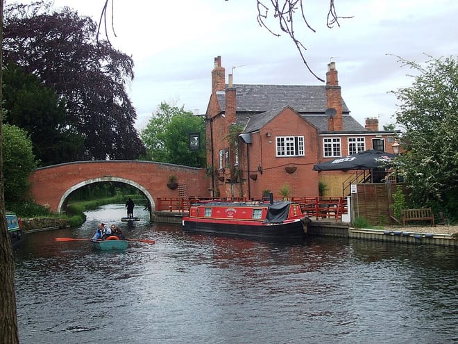
River SoarRiver · 0.2 mi (about 0.3 mi on foot)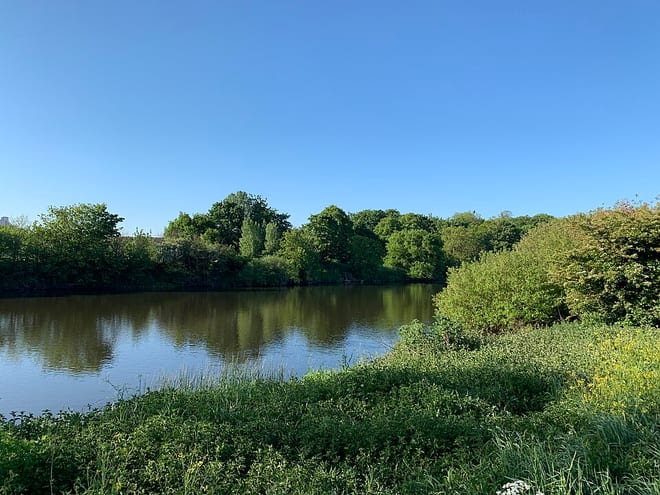 River TrentRiver · 0.8 mi (about 1 mi on foot)
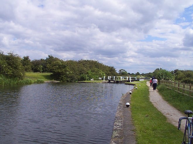 Erewash CanalCanal · 0.9 mi (about 1 mi on foot)
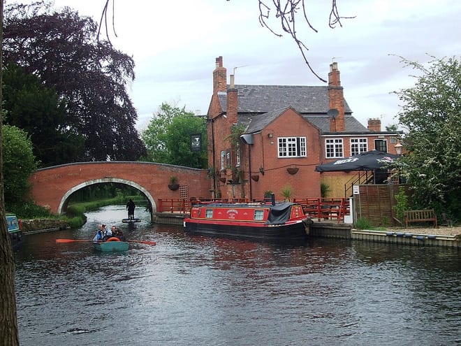 River SoarCanal · 1.8 mi (about 2 to 2.5 mi on foot)
Walking distances are estimates from the straight-line distance and the type of ground, not a measured route. Check a map before you set off.
About East Midlands Parkway Rail Station
East Midlands Parkway railway station is located just north of Ratcliffe-on-Soar, in Nottinghamshire, England; The defunct Ratcliffe-on-Soar Power Station lies next to the railway. It is a stop on the Midland Main Line and it serves East Midlands Airport, some 4 miles (6.4 km) away, Kegworth, Castle Donington, Ratcliffe-on-Soar and other nearby villages. It provides park and ride facilities for passengers on the routes from Leicester to Derby and Nottingham.
Hills, trails and walks from the platform
Walking distances are estimates from the straight-line distance and the type of ground, not a measured route. Check a map before you set off.
| Gotham Hill | 98m | 1.6 mi (about 2 to 2.5 mi on foot) |
| Court Hill | 97m | 2.8 mi (about 3.5 to 4 mi on foot) |
| Brands Hill | 86m | 3.2 mi (about 4 to 4.5 mi on foot) |
| Burnt Hill | 97m | 4.9 mi (about 6.5 to 7 mi on foot) |
| No Man's Lane | 133m | 5.3 mi (about 7 to 7.5 mi on foot) |
No National Trails within 10 miles.
Route data © OpenStreetMap contributors, ODbL – coverage and route quality vary by area.
| Midshires Way ↗Regional | 226.7 mi | 0.6 mi |
| Erewash Valley Trail ↗Local | 29.1 mi | 0.9 mi |
| Trent Valley Way ↗Regional | 193.5 mi | 0.9 mi |
| Gotham Heritage Trail ↗ | 2.7 mi | 1.5 mi |
| Skylark Route ↗Local | 2.2 mi | 2.1 mi |