





Falkirk Grahamston Rail Station
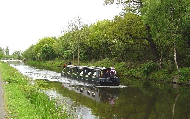
- Canal
- Peaks nearby
- 30
- highest 97m
- Walking routes
- 20
- within 10 miles
What's on the doorstep
Walking distances are estimates from the straight-line distance and the type of ground, not a measured route. Check a map before you set off.
About Falkirk Grahamston Rail Station
Falkirk Grahamston railway station is one of three railway stations serving the town of Falkirk in Scotland. It is located on the Edinburgh to Dunblane Line and also the Cumbernauld Line. Train services are provided by ScotRail. The "Highland Chieftain", the daily London North Eastern Railway service from London King's Cross to Inverness and vice versa also calls here.
Hills, trails and walks from the platform
Walking distances are estimates from the straight-line distance and the type of ground, not a measured route. Check a map before you set off.
| Gardrum Moss | 208m | 2.7 mi (about 3.5 to 4 mi on foot) |
| Grayrigg | 210m | 3.7 mi (about 5 to 5.5 mi on foot) |
| Tappoch | 120m | 4.5 mi (about 6 to 6.5 mi on foot) |
| Candiehead | 186m | 4.8 mi (about 6.5 to 7 mi on foot) |
| Cow Hill | 209m | 6.6 mi (about 8.5 to 9.5 mi on foot) |
No National Trails within 10 miles.
Route data © OpenStreetMap contributors, ODbL – coverage and route quality vary by area.
| yellow ↗ | 2.2 mi | 0.6 mi |
| John Muir Way (Falkirk to Linlithgow) ↗National | 8.8 mi | 0.7 mi |
| blue ↗ | 2.9 mi | 0.7 mi |
| red ↗ | 1.3 mi | 0.8 mi |
| John Muir Way (Croy to Falkirk) ↗National | 13.0 mi | 0.8 mi |