






Farnham Rail Station
- National Trail
- River
- Peaks nearby
- 19
- highest 86m
- Walking routes
- 21
- within 10 miles
What's on the doorstep
North Downs WayNational Trail · 0.1 mi (about 0.1 mi on foot)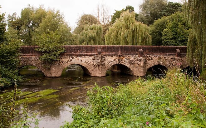 River WeyRiver · 0.2 mi (about 0.2 mi on foot)
Walking distances are estimates from the straight-line distance and the type of ground, not a measured route. Check a map before you set off.
About Farnham Rail Station
Farnham is a market town and civil parish in Surrey, England, around 36 miles (58 km) southwest of London. It is in the Borough of Waverley, close to the county border with Hampshire. The town is on the north branch of the River Wey, a tributary of the Thames, and is at the western end of the North Downs. The civil parish, which includes the villages of Badshot Lea, Hale and Wrecclesham, covers 14.1 sq mi (37 km2) and had a population of 39,488 in 2011.
Hills, trails and walks from the platform
Walking distances are estimates from the straight-line distance and the type of ground, not a measured route. Check a map before you set off.
| Bricksbury Hill | 191m | 2.0 mi (about 2.5 to 3 mi on foot) |
| Crooksbury Hill | 163m | 2.1 mi (about 3 mi on foot) |
| Lodge Inclosure | 128m | 3.8 mi (about 5 to 5.5 mi on foot) |
| The Devil's Jumps East Top | 121m | 4.6 mi (about 6 to 6.5 mi on foot) |
| River Hill | 149m | 4.9 mi (about 6.5 to 7 mi on foot) |
| North Downs Way ↗ | 158.9 mi | 0.1 mi |
Route data © OpenStreetMap contributors, ODbL – coverage and route quality vary by area.
| St Swithun's Way ↗Regional | 33.8 mi | 0.0 mi |
| North Downs Way (Western) ↗National | 10.7 mi | 0.1 mi |
| Blackwater Valley Path ↗Regional | 24.3 mi | 1.8 mi |
| Medieval Waverley (SCC) ↗Local | 5.8 mi | 1.9 mi |
| Bourne Wood Green Route ↗ | 0.2 mi | 2.0 mi |