





Fenny Stratford Rail Station
- Canal
- River
- Peaks nearby
- 4
- highest 171m
- Walking routes
- 20
- within 10 miles
What's on the doorstep
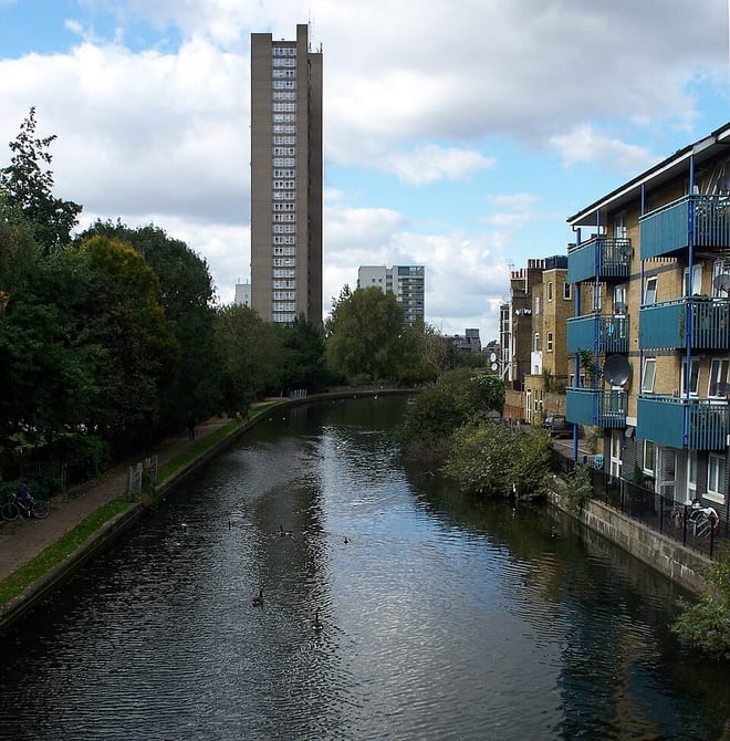
Grand Union CanalCanal · 0.1 mi (about 0.1 mi on foot)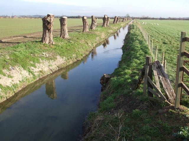 River OuzelRiver · 0.2 mi (about 0.2 mi on foot)
Walking distances are estimates from the straight-line distance and the type of ground, not a measured route. Check a map before you set off.
About Fenny Stratford Rail Station
Fenny Stratford is a constituent town of Milton Keynes, a city in Buckinghamshire, England. It is administered by Bletchley and Fenny Stratford, a civil parish under the Milton Keynes City Council. It is located around Watling Street, at the southern edge of the city, just east of Bletchley and west of the modern A5. It was included in Milton Keynes when the latter was designated in 1967.
Hills, trails and walks from the platform
Walking distances are estimates from the straight-line distance and the type of ground, not a measured route. Check a map before you set off.
| Bow Brickhill | 171m | 2.0 mi (about 2.5 to 3 mi on foot) |
| Mursley Mound | 161m | 4.9 mi (about 6.5 to 7 mi on foot) |
| Brogborough Hill | 117m | 5.6 mi (about 7.5 to 8 mi on foot) |
| Billington Hill | 132m | 8.2 mi (about 10.5 to 12 mi on foot) |
No National Trails within 10 miles.
Route data © OpenStreetMap contributors, ODbL – coverage and route quality vary by area.
| Grand Union Canal Walk ↗Regional | 83.4 mi | 0.1 mi |
| Milton Keynes Boundary Walk ↗Regional | 64.4 mi | 1.6 mi |
| Seven Parishes Millennium Circular Walk ↗Local | 14.1 mi | 2.6 mi |
| Greensand Ridge Walk ↗Regional | 44.9 mi | 3.0 mi |
| Midshires Way ↗Regional | 226.7 mi | 3.1 mi |