





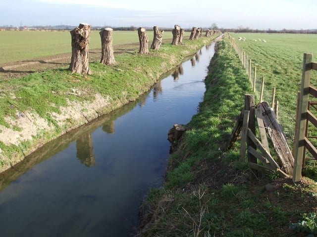
Walk the River Ouzel by Train
Photo: Rob Farrow, CC BY-SA 2.0, via Geograph
The River Ouzel, also known as the Lovat, rises in the Chiltern Hills and flows 20 miles north to join the Great Ouse at Newport Pagnell. Bow Brickhill, Fenny Stratford, Leighton Buzzard and Cheddington stations give train access to the riverside path.
There are 4 stations within reach of the River Ouzel: within 2 miles of it, or half a mile in towns.
The River Ouzel runs about 22 miles in our route data. The stations below are in order along it.
River Ouzel train stations
- Fenny Stratford0.2 mi (about 0.2 mi on foot) · closest
- Leighton Buzzard0.4 mi (about 0.5 to 0.6 mi on foot)
- Bow Brickhill0.5 mi (about 0.6 to 0.7 mi on foot)
- Cheddington2.0 mi (about 2.5 mi on foot)
Walking distances are estimates from the straight-line distance and the type of ground, not a measured route. Check a map before you set off.
There-and-back walks
No two stations share a walkable stretch of the River Ouzel, so these walks head out along the riverside path and come back to the same station. The distance is the longest the riverside path allows, up to 20 miles; turn round sooner for a shorter walk.
| Station | Out along the riverside path | Distance | Time |
|---|---|---|---|
| Bow Brickhill | 5.2 mi and back | 11.5 to 12 mi | about 4 hours |
| Fenny Stratford | 5.6 mi and back | 11.5 mi | about 4 hours |
| Leighton Buzzard | 3.7 mi and back | 8.5 mi | about 3 hours |
| Cheddington | 6.0 mi and back | 17 to 17.5 mi | about 5.5 to 6 hours |
Times use Naismith's rule and don't include stops.
River routes and riverside paths © OpenStreetMap contributors.