





Godalming Rail Station
- River
- National Landscape
- Peaks nearby
- 25
- highest 88m
- Walking routes
- 21
- within 10 miles
What's on the doorstep
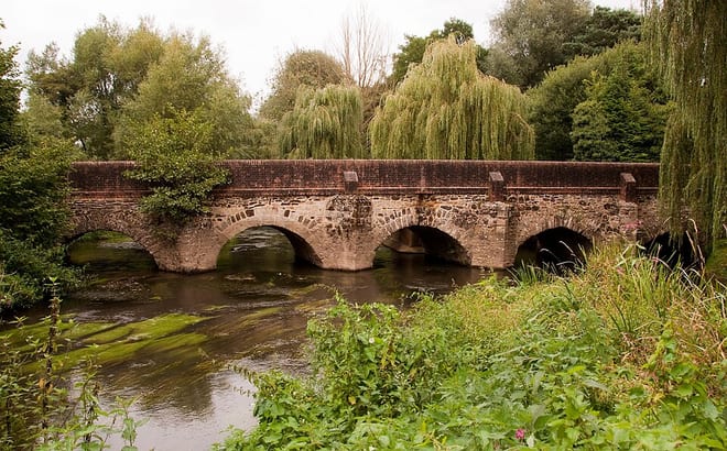
River WeyRiver · 0.1 mi (about 0.2 mi on foot) Surrey Hills National LandscapeNational Landscape · 0.9 mi (about 1 mi on foot)
Walking distances are estimates from the straight-line distance and the type of ground, not a measured route. Check a map before you set off.
About Godalming Rail Station
Godalming is a market town and civil parish in south-west Surrey, England, around 30 miles (49 km) south-west of central London. It is in the Borough of Waverley, at the confluence of the Rivers Wey and Ock. The civil parish covers 3.74 sq mi (9.7 km2) and includes the settlements of Farncombe, Binscombe and Aaron's Hill. Much of the area lies on the strata of the Lower Greensand Group and Bargate stone was quarried locally until the Second World War.
Hills, trails and walks from the platform
Walking distances are estimates from the straight-line distance and the type of ground, not a measured route. Check a map before you set off.
| Aaron's Hill | 86m | 0.1 mi (about 0.2 mi on foot) |
| Hydon's Ball | 181m | 2.8 mi (about 3.5 to 4 mi on foot) |
| Hog's Back | 154m | 2.9 mi (about 4 to 4.5 mi on foot) |
| Yewtree Nob | 140m | 3.1 mi (about 4 to 4.5 mi on foot) |
| Chinthurst Hill | 121m | 3.1 mi (about 4 to 4.5 mi on foot) |
| North Downs Way ↗ | 158.9 mi | 2.4 mi |
Route data © OpenStreetMap contributors, ODbL – coverage and route quality vary by area.
| The Fox Way ↗Local | 37.5 mi | 0.0 mi |
| Winkworth to Oakhurst Wonder Walk, Winkworth ↗Local | 3.7 mi | 2.2 mi |
| Winkworth Route, Winkworth ↗Local | 2.4 mi | 2.2 mi |
| Upper Arboretum Route, Winkworth ↗Local | 0.7 mi | 2.2 mi |
| Boathouse Route, Winkworth ↗Local | 1.0 mi | 2.2 mi |