





Godstone Rail Station
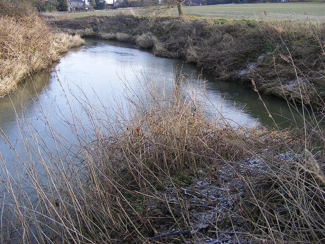
- River
- Peaks nearby
- 26
- highest 270m
- Walking routes
- 21
- within 10 miles
What's on the doorstep
Walking distances are estimates from the straight-line distance and the type of ground, not a measured route. Check a map before you set off.
About Godstone Rail Station
Godstone is a village and civil parish in the Tandridge District of Surrey, England. It is 6 miles (9.7 km) east of Reigate, 3 miles (4.8 km) west of Oxted, 22 miles (35 km) east of Guildford and 18 miles (29 km) south of London. Close to the North Downs, both the North Downs Way and the Greensand Way pass through Godstone.
Source: Wikipedia, CC BY-SA.
Hills, trails and walks from the platform
Walking distances are estimates from the straight-line distance and the type of ground, not a measured route. Check a map before you set off.
| Tilburstow Hill | 180m | 1.2 mi (about 1.5 to 2 mi on foot) |
| Beechwood Hill | 160m | 2.0 mi (about 2.5 to 3 mi on foot) |
| Gay House Hill | 121m | 2.6 mi (about 3.5 mi on foot) |
| Gravelly Hill | 237m | 3.4 mi (about 4.5 to 5 mi on foot) |
| Winders Hill | 236m | 3.6 mi (about 4.5 to 5 mi on foot) |
| North Downs Way ↗ | 158.9 mi | 3.0 mi |
Route data © OpenStreetMap contributors, ODbL – coverage and route quality vary by area.
| Greensand Way ↗Regional | 119.6 mi | 1.0 mi |
| Harewoods Lodge Farm Walk, Harewoods ↗Local | 4.7 mi | 1.1 mi |
| Greenwich Meridian Trail ↗Regional | 246.4 mi | 1.8 mi |
| Horencourt Wood Spring Walk, Harewoods ↗Local | 1.7 mi | 2.5 mi |
| Over the Downs to Oxted Mill walk (SCC) ↗Local | 5.3 mi | 2.5 mi |