





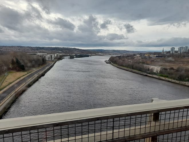
Hexham Rail Station
- River
- National Landscape
- National Trail
- National Park
- Peaks nearby
- 26
- highest 501m
- Walking routes
- 10
- within 10 miles
What's on the doorstep
River Tyne (Northumberland)River · 0.2 mi (about 0.2 to 0.3 mi on foot)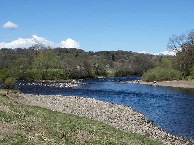 River South TyneRiver · 1.8 mi (about 2 to 2.5 mi on foot)
 North Pennines National LandscapeNational Landscape · 2.4 mi (about 3 to 3.5 mi on foot)
 Hadrian's Wall PathNational Trail · 3.2 mi (about 4 to 4.5 mi on foot)
 NorthumberlandNational Park · 4.7 mi (about 5.5 to 6.5 mi on foot)
Walking distances are estimates from the straight-line distance and the type of ground, not a measured route. Check a map before you set off.
About Hexham Rail Station
Hexham is a market town and civil parish in Northumberland, England, on the south bank of the River Tyne, formed by the confluence of the North Tyne and the South Tyne at Warden nearby, and close to Hadrian's Wall. Hexham was the administrative centre for the Tynedale district from 1974 to 2009. In 2011, it had a population of 13,097.
Source: Wikipedia, CC BY-SA.
Hills, trails and walks from the platform
Walking distances are estimates from the straight-line distance and the type of ground, not a measured route. Check a map before you set off.
| Snokoe Hill | 191m | 3.0 mi (about 4 to 4.5 mi on foot) |
| Currick Hill | 254m | 3.1 mi (about 4 to 4.5 mi on foot) |
| Warden Hill | 180m | 3.1 mi (about 4 to 4.5 mi on foot) |
| Whittington Fell | 268m | 3.5 mi (about 4.5 to 5 mi on foot) |
| Frankham Fell | 182m | 4.5 mi (about 6 to 6.5 mi on foot) |
| Hadrian's Wall Path ↗ | 85.8 mi | 3.2 mi |
Route data © OpenStreetMap contributors, ODbL – coverage and route quality vary by area.
| Way of Light ↗Regional | 50.1 mi | 0.1 mi |
| Historic Dilston Trail ↗Local | 4.8 mi | 2.1 mi |
| Historic Fortifications Trail ↗Local | 9.4 mi | 3.0 mi |
| Hadrian's Wall Path ↗National | 86.7 mi | 3.2 mi |
| Stocksfields Community Woodland Trails ↗Local | 2.8 mi | 6.7 mi |