





Hall Green Rail Station
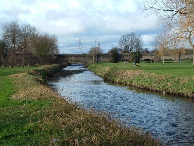
- River
- Peaks nearby
- 13
- highest 298m
- Walking routes
- 20
- within 10 miles
What's on the doorstep
Walking distances are estimates from the straight-line distance and the type of ground, not a measured route. Check a map before you set off.
About Hall Green Rail Station
Hall Green is an area in southeast Birmingham, in the county of the West Midlands, England. It is also a council constituency of Birmingham City Council, managed by its own district committee. Historically it lay within the county of Worcestershire. The 2001 Population Census found that there were 25,921 people living in Hall Green with a population density of 4,867 people per km2, this compares with 3,649 people per km2 for Birmingham.
Hills, trails and walks from the platform
Walking distances are estimates from the straight-line distance and the type of ground, not a measured route. Check a map before you set off.
| High Hill | 208m | 5.6 mi (about 7.5 to 8 mi on foot) |
| Moorgreen Hill | 177m | 6.2 mi (about 8 to 9 mi on foot) |
| Warley Park | 236m | 6.4 mi (about 8.5 to 9.5 mi on foot) |
| Frankley Beeches | 256m | 7.2 mi (about 9.5 to 10.5 mi on foot) |
| Newbourne Hill | 177m | 7.6 mi (about 10 to 11 mi on foot) |
No National Trails within 10 miles.
Route data © OpenStreetMap contributors, ODbL – coverage and route quality vary by area.
| Rail Trail: Olton > Shirley ↗Local | 7.9 mi | 0.4 mi |
| Millstream Way ↗Local | 2.7 mi | 0.4 mi |
| Acocks Green Heritage Trail ↗Local | 4.4 mi | 0.5 mi |
| Grand Union Canal Walk ↗Regional | 39.0 mi | 1.5 mi |
| Balsall Heath Tree Trail East ↗Local | 1.2 mi | 1.9 mi |