





Keynsham Rail Station
- River
- Disused railway
- National Trail
- Peaks nearby
- 30
- highest 99m
- Walking routes
- 21
- within 10 miles
What's on the doorstep
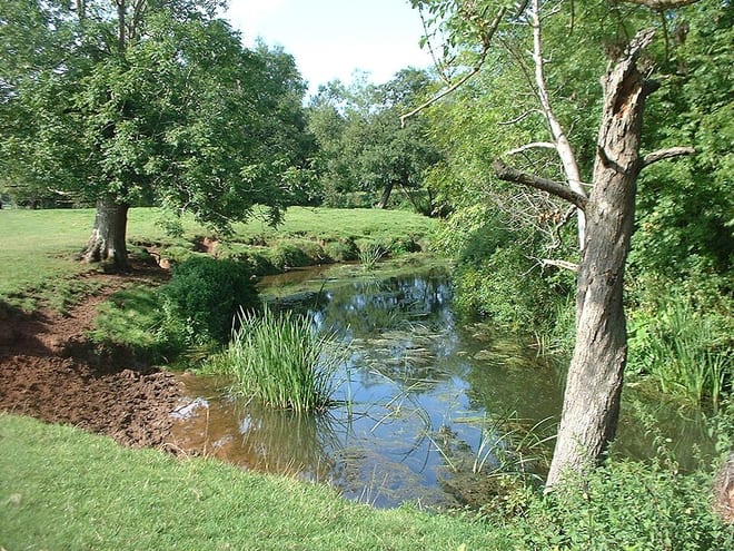
River ChewRiver · 0.1 mi (about 0.1 mi on foot)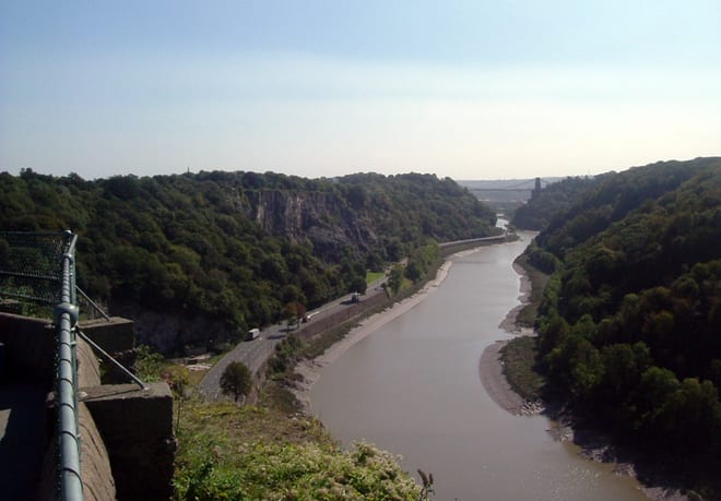 River Avon (Bristol)River · 0.2 mi (about 0.2 mi on foot)
 Cotswold WayNational Trail · 3.1 mi (about 4 mi on foot)
Also nearby
Walking distances are estimates from the straight-line distance and the type of ground, not a measured route. Check a map before you set off.
About Keynsham Rail Station
Keynsham is a town and civil parish in the Bath and North East Somerset district of Somerset, England. It lies close to the south-eastern outskirts of the city of Bristol, on the A4 road that links Bristol and Bath. At the 2021 census the parish had a population of 19,596 and the built-up area had a population of 19,255. It was listed in the Domesday Book as Cainesham, which is believed to mean the home of Saint Keyne.
Hills, trails and walks from the platform
Walking distances are estimates from the straight-line distance and the type of ground, not a measured route. Check a map before you set off.
| Mount Hill | 116m | 2.5 mi (about 3.5 mi on foot) |
| Stantonbury Hill | 177m | 3.4 mi (about 4.5 to 5 mi on foot) |
| Hopewell Hill | 116m | 3.6 mi (about 4.5 to 5 mi on foot) |
| Lansdown Hill | 238m | 3.7 mi (about 5 to 5.5 mi on foot) |
| Winsbury Hill | 165m | 3.7 mi (about 5 to 5.5 mi on foot) |
| Cotswold Way ↗ | 106.3 mi | 3.1 mi |
Route data © OpenStreetMap contributors, ODbL – coverage and route quality vary by area.
| Two Rivers Way ↗Regional | 20.8 mi | 0.1 mi |
| Community Forest Path ↗Local | 46.5 mi | 0.1 mi |
| River Avon Trail ↗Regional | 26.0 mi | 0.2 mi |
| Monarch's Way ↗Regional | 573.3 mi | 0.2 mi |
| Kennet and Avon Canal Trail ↗Regional | 96.3 mi | 0.2 mi |