





Lapworth Rail Station
- Canal
- Peaks nearby
- 8
- highest 185m
- Walking routes
- 20
- within 10 miles
What's on the doorstep
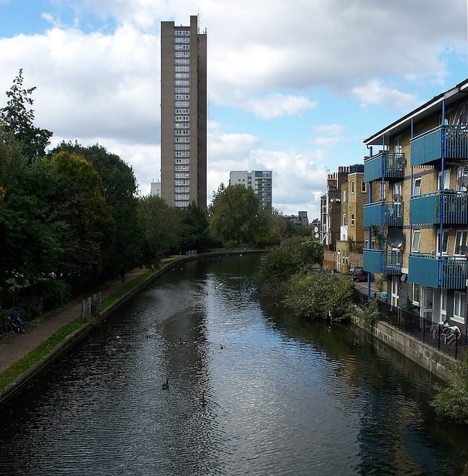
Grand Union CanalCanal · 0.2 mi (about 0.3 mi on foot)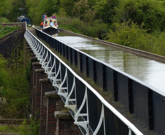 Stratford-upon-Avon CanalCanal · 0.3 mi (about 0.4 mi on foot)
Walking distances are estimates from the straight-line distance and the type of ground, not a measured route. Check a map before you set off.
About Lapworth Rail Station
Lapworth is a village and civil parish in Warwickshire, England, which had a population of 1,916 at the 2021 census. It lies seven miles (11 km) south of Solihull and ten miles (16 km) northwest of Warwick, and incorporates the hamlet of Kingswood. Lapworth boasts a historic church, the Church of St Mary the Virgin, a chapel. Two National Trust sites are nearby: Baddesley Clinton, a medieval moated manor house and garden located in the village of Baddesley Clinton; and Packwood House, a Tudor manor house and yew garden with over 100 trees in Packwood.
Hills, trails and walks from the platform
Walking distances are estimates from the straight-line distance and the type of ground, not a measured route. Check a map before you set off.
| Bannam's Wood | 147m | 6.3 mi (about 8 to 9 mi on foot) |
| Badbury Hill | 142m | 7.0 mi (about 9 to 10 mi on foot) |
| Lodge Hill | 143m | 7.9 mi (about 10 to 11.5 mi on foot) |
| Moorgreen Hill | 177m | 8.6 mi (about 11 to 12.5 mi on foot) |
| Wood End Hill | 185m | 8.9 mi (about 11.5 to 13 mi on foot) |
No National Trails within 10 miles.
Route data © OpenStreetMap contributors, ODbL – coverage and route quality vary by area.
| Rail Trail: Dorridge > Lapworth ↗Local | 4.9 mi | 0.0 mi |
| Rail Trail: Lapworth Circular ↗Local | 4.1 mi | 0.0 mi |
| Rail Trail: Hatton > Lapworth ↗Local | 4.8 mi | 0.0 mi |
| Grand Union Canal Walk ↗Regional | 39.0 mi | 0.2 mi |
| Baddesley Clinton to Packwood Walk, Baddesley Clinton ↗Local | 5.9 mi | 0.3 mi |