





Walk the Stratford-upon-Avon Canal by Train
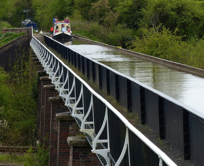
Photo: Mat Fascione, CC BY-SA 2.0, via Wikimedia Commons
The Stratford-upon-Avon Canal runs 25.5 miles between Birmingham and Stratford-upon-Avon in two sections, divided at Kingswood Junction with the Grand Union Canal. Stratford-upon-Avon, Henley-in-Arden, Earlswood (West Midlands) and Kings Norton stations give train access to the towpath.
There are 15 stations within reach of the Stratford-upon-Avon Canal: within 2 miles of it, or half a mile in towns.
The Stratford-upon-Avon Canal runs about 25 miles in our route data, including any river sections it follows. The stations below are in order along it.
Stratford-upon-Avon Canal train stations
- Wilmcote0.1 mi (about 0.1 mi on foot) · closest
- Stratford-upon-Avon Parkway0.1 mi (about 0.1 to 0.2 mi on foot)
- Stratford-upon-Avon0.2 mi (about 0.3 mi on foot)
- Whitlocks End0.3 mi (about 0.3 mi on foot)
- Lapworth0.3 mi (about 0.4 mi on foot)
- Shirley0.3 mi (about 0.4 mi on foot)
- Bearley0.4 mi (about 0.4 to 0.5 mi on foot)
- Kings Norton0.4 mi (about 0.5 to 0.6 mi on foot)
- Wootton Wawen0.6 mi (about 0.7 to 0.8 mi on foot)
- The Lakes1.1 mi (about 1.5 mi on foot)
- Wythall1.2 mi (about 1.5 mi on foot)
- Earlswood (West Midlands)1.3 mi (about 1.5 mi on foot)
- Henley-in-Arden1.6 mi (about 2 mi on foot)
- Claverdon1.9 mi (about 2.5 mi on foot)
- Wood End2.0 mi (about 2.5 mi on foot)
Walking distances are estimates from the straight-line distance and the type of ground, not a measured route. Check a map before you set off.
Station-to-station walks
Walk the towpath from one station and catch the train back from another. Each station is shown with its nearest walk in each direction along the Stratford-upon-Avon Canal, from 4 to 20 miles. Miles include the walk to and from each station.
| From | To | Distance | Time |
|---|---|---|---|
| Stratford-upon-Avon | Bearley | 5 mi | about 1.5 hours |
| Stratford-upon-Avon Parkway | Wootton Wawen | 5.5 to 6 mi | about 2 hours |
| Wilmcote | Henley-in-Arden | 7 to 7.5 mi | about 2.5 hours |
| Bearley | Claverdon | 7.5 mi | about 2.5 hours |
| Wootton Wawen | Lapworth | 7.5 mi | about 2.5 hours |
| Henley-in-Arden | Lapworth | 6.5 to 7 mi | about 2 to 2.5 hours |
| Claverdon | Wood End | 13 to 13.5 mi | about 4.5 hours |
| Lapworth | The Lakes | 7.5 mi | about 2.5 hours |
| Lapworth | Wood End | 7.5 to 8 mi | about 2.5 hours |
| Lapworth | Earlswood (West Midlands) | 7.5 to 8 mi | about 2.5 hours |
| Lapworth | Whitlocks End | 8 to 8.5 mi | about 2.5 to 3 hours |
| Lapworth | Shirley | 9 mi | about 3 hours |
| Lapworth | Wythall | 9.5 mi | about 3 hours |
| Wood End | Kings Norton | 10.5 mi | about 3.5 hours |
| The Lakes | Kings Norton | 8.5 to 9 mi | about 3 hours |
| Earlswood (West Midlands) | Kings Norton | 8.5 to 9 mi | about 3 hours |
| Wythall | Kings Norton | 7 mi | about 2.5 hours |
| Whitlocks End | Kings Norton | 5.5 mi | about 2 hours |
| Shirley | Kings Norton | 5 mi | about 1.5 hours |
Walks onto other canals
Start on the Stratford-upon-Avon Canal and finish on another canal, changing at the junction where they meet.
| From | To | Distance | Time |
|---|---|---|---|
| Whitlocks End | Universityon the Worcester and Birmingham Canal | 8 mi | about 2.5 hours |
Times use Naismith's rule and don't include stops.
Canal routes and towpaths © OpenStreetMap contributors.
More of Stratford-upon-Avon Canal
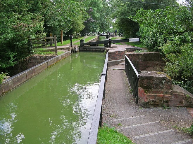
Photo: DeFacto, CC BY-SA 2.5, via Wikimedia Commons
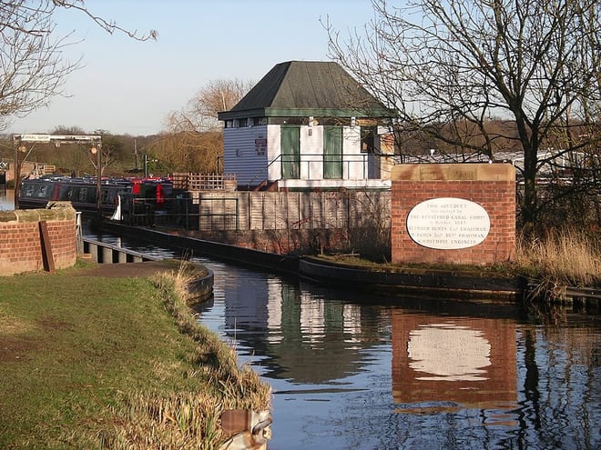
Photo: Velela at English Wikipedia, Public domain, via Wikimedia Commons
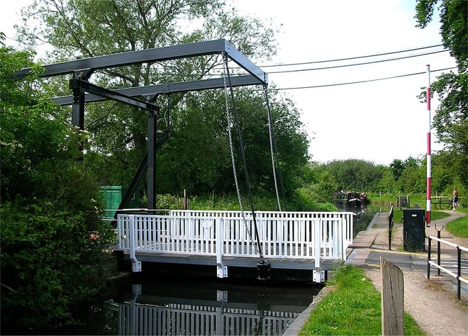
Photo: Oosoom at English Wikipedia, CC BY-SA 3.0, via Wikimedia Commons