





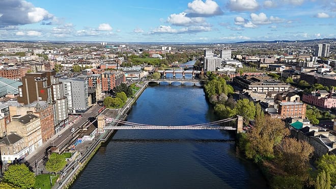
Larkhall Rail Station
- National Nature Reserve
- Special Area of Conservation
- River
- Peaks nearby
- 21
- highest 399m
- Walking routes
- 10
- within 10 miles
What's on the doorstep
Walking distances are estimates from the straight-line distance and the type of ground, not a measured route. Check a map before you set off.
About Larkhall Rail Station
Larkhall is a town in South Lanarkshire, Scotland, around 14 miles (23 km) southeast of Glasgow. Larkhall sits on high ground between the River Clyde to the East and the Avon Water to the West. Larkhall sits on the edge of the scenic Clyde valley and is a commuter town for Glasgow.
Source: Wikipedia, CC BY-SA.
Hills, trails and walks from the platform
Walking distances are estimates from the straight-line distance and the type of ground, not a measured route. Check a map before you set off.
| Law of Maudslie | 204m | 3.8 mi (about 5 to 5.5 mi on foot) |
| Swinsy Hill | 113m | 5.0 mi (about 6.5 to 7.5 mi on foot) |
| Green Hill | 244m | 5.5 mi (about 7 to 8 mi on foot) |
| Black Hill | 290m | 6.5 mi (about 8.5 to 9.5 mi on foot) |
| Nemphlar Moor | 204m | 6.9 mi (about 9 to 10 mi on foot) |
No National Trails within 10 miles.
Route data © OpenStreetMap contributors, ODbL – coverage and route quality vary by area.
| Avon Walkway ↗ | 9.6 mi | 0.5 mi |
| Clyde Walkway ↗National | 38.6 mi | 1.3 mi |
| Routes around roots ↗Local | 0.8 mi | 4.9 mi |
| Nature Trail ↗Local | 0.8 mi | 5.6 mi |
| East Loop ↗ | 1.2 mi | 5.9 mi |