






Lewes Rail Station
- National Park
- River
- Special Area of Conservation
- Peaks nearby
- 17
- highest 87m
- Walking routes
- 21
- within 10 miles
What's on the doorstep
Walking distances are estimates from the straight-line distance and the type of ground, not a measured route. Check a map before you set off.
About Lewes Rail Station
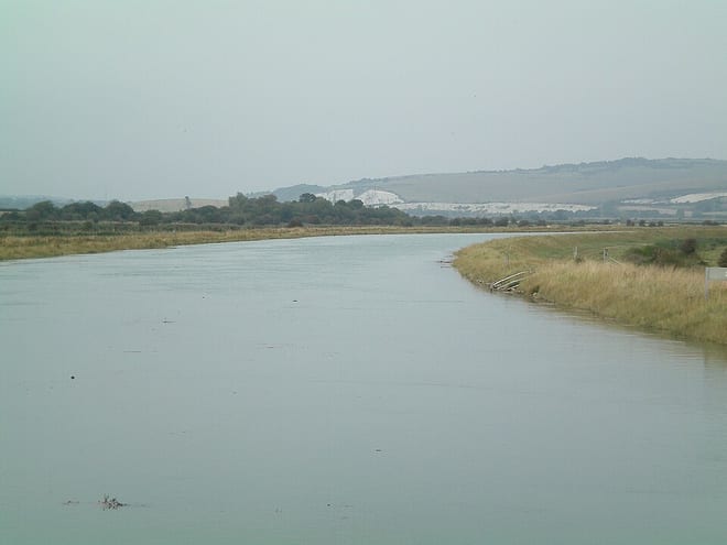
Lewes is the county town of East Sussex, England. The town is the administrative centre of the wider district of the same name. and lies on the River Ouse at the point where the river cuts through the South Downs. Lewes is approximately 7 miles (11 km) northeast of Brighton, 11 miles (18 km) northwest of Eastbourne, and 25 miles (40 km) west of Hastings. At the 2021 census, the parish had a population of 16,723.
Hills, trails and walks from the platform
Walking distances are estimates from the straight-line distance and the type of ground, not a measured route. Check a map before you set off.
| Cliffe Hill | 164m | 1.2 mi (about 1.5 to 2 mi on foot) |
| Mount Caburn | 150m | 1.8 mi (about 2.5 mi on foot) |
| Castle Hill | 200m | 3.0 mi (about 4 to 4.5 mi on foot) |
| Blunt's Hill | 65m | 3.4 mi (about 4.5 to 5 mi on foot) |
| Bullock Hill | 195m | 3.8 mi (about 5 to 5.5 mi on foot) |
| South Downs Way ↗ | 114.0 mi | 2.3 mi |
Route data © OpenStreetMap contributors, ODbL – coverage and route quality vary by area.
| Greenwich Meridian Trail ↗Regional | 246.4 mi | 0.0 mi |
| Sussex Ouse Valley Way ↗Regional | 44.9 mi | 0.3 mi |
| Southease to Monk's House Circular Walk, Monks House ↗Local | 3.9 mi | 2.0 mi |
| European walking route E9, Queen Elizabeth Country Park to Jevington ↗International | 71.3 mi | 2.3 mi |
| South Downs Way ↗National | 101.7 mi | 2.3 mi |