





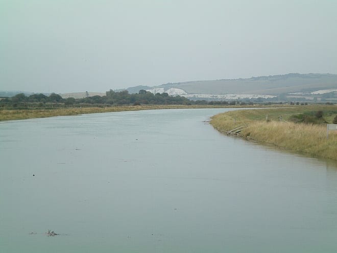
Walk the Ouse by Train
Photo: Charlesdrakew, Public domain, via Wikimedia Commons
The Sussex Ouse runs 35 miles from near Lower Beeding in West Sussex through Lewes to the sea at Newhaven. Bishopstone, Newhaven Town, Lewes and Balcombe stations give train access to the riverside path.
There are 11 stations within reach of the Ouse: within 2 miles of it, or half a mile in towns.
The Ouse runs about 36 miles in our route data. The stations below are in order along it.
Ouse train stations
- Newhaven Harbour0.1 mi (about 0.1 mi on foot) · closest
- Newhaven Town0.1 mi (about 0.1 to 0.2 mi on foot)
- Southease0.2 mi (about 0.2 to 0.3 mi on foot)
- Lewes0.3 mi (about 0.4 mi on foot)
- Southease - Piddinghoe Road0.4 mi (about 0.4 to 0.5 mi on foot)
- Cooksbridge1.0 mi (about 1 to 1.5 mi on foot)
- Bishopstone1.1 mi (about 1.5 mi on foot)
- Balcombe1.1 mi (about 1.5 mi on foot)
- Glynde1.6 mi (about 2 mi on foot)
- Uckfield1.8 mi (about 2 to 2.5 mi on foot)
- Seaford2.0 mi (about 2.5 mi on foot)
Walking distances are estimates from the straight-line distance and the type of ground, not a measured route. Check a map before you set off.
Station-to-station walks
Walk the riverside path from one station and catch the train back from another. Each station is shown with its nearest walk in each direction along the Ouse, from 4 to 20 miles. Miles include the walk to and from each station.
| From | To | Distance | Time |
|---|---|---|---|
| Bishopstone | Southease | 5.5 to 6 mi | about 2 hours |
| Bishopstone | Southease - Piddinghoe Road | 6 mi | about 2 hours |
| Seaford | Southease - Piddinghoe Road | 7 mi | about 2.5 hours |
| Newhaven Harbour | Glynde | 7 mi | about 2.5 hours |
| Newhaven Town | Glynde | 6.5 to 7 mi | about 2 to 2.5 hours |
| Newhaven Town | Lewes | 7.5 mi | about 2.5 hours |
Times use Naismith's rule and don't include stops.
River routes and riverside paths © OpenStreetMap contributors.
More of Ouse
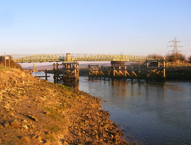
Photo: Simon Carey, CC BY-SA 2.0, via Geograph
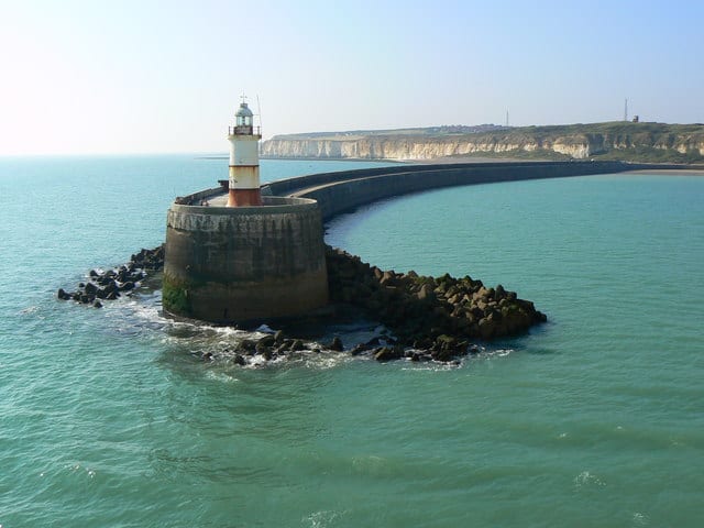
Photo: Alan Burke, CC BY-SA 2.0, via Geograph
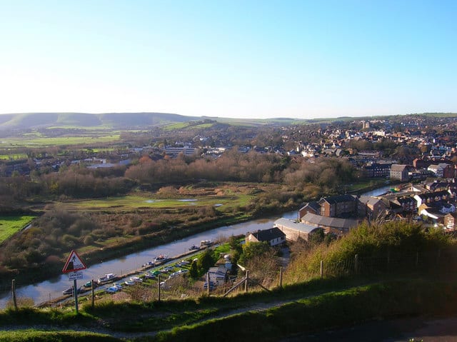
Photo: Simon Carey, CC BY-SA 2.0, via Wikimedia Commons