





Langho Rail Station
- River
- Peaks nearby
- 30
- highest 557m
- Walking routes
- 19
- within 10 miles
What's on the doorstep
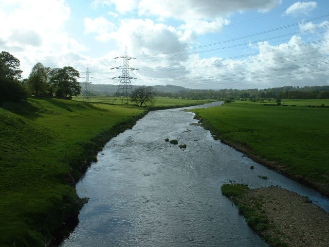
River Calder (Lancashire)River · 1.5 mi (about 2 mi on foot)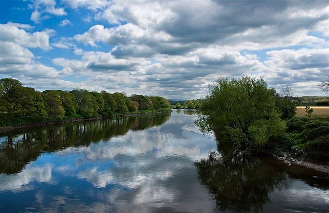 River RibbleRiver · 1.7 mi (about 2 to 2.5 mi on foot)
Walking distances are estimates from the straight-line distance and the type of ground, not a measured route. Check a map before you set off.
About Langho Rail Station
Langho is a small rural village 5 miles (8 km) north of Blackburn in the Ribble Valley, Lancashire, England. It is part of the parish of Billington and Langho. The village is linked with Blackburn and Clitheroe by the A666 road and is served by Langho railway station on the Ribble Valley Line. The population at the 2011 census was 2,015.
Source: Wikipedia, CC BY-SA.
Hills, trails and walks from the platform
Walking distances are estimates from the straight-line distance and the type of ground, not a measured route. Check a map before you set off.
| Wilpshire Moor | 235m | 1.1 mi (about 1.5 mi on foot) |
| Height House Hill | 240m | 1.9 mi (about 2.5 mi on foot) |
| Mellor Moor | 223m | 3.5 mi (about 4.5 to 5 mi on foot) |
| Revidge | 229m | 3.6 mi (about 4.5 to 5.5 mi on foot) |
| Whinney Hill | 191m | 4.1 mi (about 5.5 to 6 mi on foot) |
| Pennine Bridleway ↗ | 206.0 mi | 9.5 mi |
Route data © OpenStreetMap contributors, ODbL – coverage and route quality vary by area.
| The Ribble Valley Jubilee Trail ↗Regional | 63.1 mi | 0.6 mi |
| Great Harwood Nature Walk ↗Local | 2.8 mi | 1.6 mi |
| The Tolkien Trail ↗ | 6.8 mi | 1.7 mi |
| Ribble Way ↗Regional | 70.0 mi | 1.7 mi |
| Huncoat Trail ↗Local | 9.1 mi | 4.3 mi |