






Liphook Rail Station
- National Park
- River
- Peaks nearby
- 30
- highest 92m
- Walking routes
- 22
- within 10 miles
What's on the doorstep
South DownsNational Park · 0.2 mi (about 0.2 mi on foot)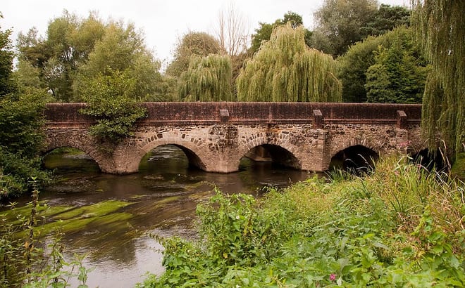 River WeyRiver · 0.7 mi (about 0.8 to 0.9 mi on foot)
Walking distances are estimates from the straight-line distance and the type of ground, not a measured route. Check a map before you set off.
About Liphook Rail Station
Liphook is a village in the East Hampshire district of Hampshire, England. It is 4.1 miles (6.6 km) west of Haslemere, bypassed by the A3 road, and lies on the Hampshire/West Sussex/Surrey borders. It is in the civil parish of Bramshott and Liphook, which includes Bramshott, Griggs Green, Conford, Passfield, Hammer Bottom, Ludshott Common and Waggoners Wells, and has an area of 6,540 acres (2,650 ha) and a population of 8,491 in 2011.
Hills, trails and walks from the platform
Walking distances are estimates from the straight-line distance and the type of ground, not a measured route. Check a map before you set off.
| Hollycombe Hanger | 193m | 1.6 mi (about 2 to 2.5 mi on foot) |
| Weavers Down | 156m | 1.8 mi (about 2.5 mi on foot) |
| Marley Heights | 216m | 3.1 mi (about 4 to 4.5 mi on foot) |
| Telegraph Hill | 207m | 3.3 mi (about 4.5 to 5 mi on foot) |
| Dunner Hill | 148m | 3.5 mi (about 4.5 to 5 mi on foot) |
| South Downs Way ↗ | 114.0 mi | 8.0 mi |
| North Downs Way ↗ | 158.9 mi | 9.8 mi |
Route data © OpenStreetMap contributors, ODbL – coverage and route quality vary by area.
| New Lipchis Way ↗Regional | 38.2 mi | 0.0 mi |
| The Shipwrights Way ↗Regional | 51.4 mi | 0.0 mi |
| The Serpent Trail ↗Regional | 62.9 mi | 0.4 mi |
| Sussex Border Path ↗Regional | 140.7 mi | 0.4 mi |
| Shottermill to Marley Common and Cognor Wood walk, Black Down ↗Local | 4.3 mi | 2.0 mi |