





Leighton Buzzard Rail Station
- Canal
- River
- Peaks nearby
- 11
- highest 249m
- Walking routes
- 21
- within 10 miles
What's on the doorstep
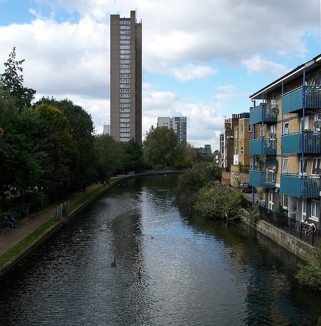
Grand Union CanalCanal · 0.3 mi (about 0.3 to 0.4 mi on foot)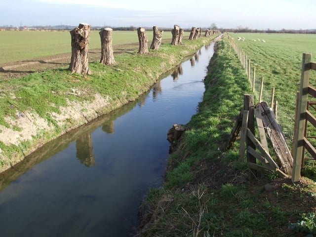 River OuzelRiver · 0.4 mi (about 0.5 to 0.6 mi on foot)
Walking distances are estimates from the straight-line distance and the type of ground, not a measured route. Check a map before you set off.
About Leighton Buzzard Rail Station
Leighton Buzzard is a market town in the civil parish of Leighton–Linslade, in the Central Bedfordshire district, in Bedfordshire, England, in the southwest of the county and close to the Buckinghamshire border. It lies between Aylesbury, Tring, Luton/Dunstable and Milton Keynes, near the Chiltern Hills.
Source: Wikipedia, CC BY-SA.
Hills, trails and walks from the platform
Walking distances are estimates from the straight-line distance and the type of ground, not a measured route. Check a map before you set off.
| Billington Hill | 132m | 2.5 mi (about 3.5 mi on foot) |
| Southend Hill | 140m | 5.3 mi (about 7 to 7.5 mi on foot) |
| Bow Brickhill | 171m | 5.9 mi (about 7.5 to 8.5 mi on foot) |
| Mursley Mound | 161m | 6.0 mi (about 8 to 8.5 mi on foot) |
| Dunstable Downs | 243m | 7.0 mi (about 9 to 10 mi on foot) |
| The Ridgeway ↗ | 86.3 mi | 5.9 mi |
Route data © OpenStreetMap contributors, ODbL – coverage and route quality vary by area.
| Two Ridges Link ↗Local | 10.4 mi | 0.3 mi |
| Grand Union Canal Walk ↗Regional | 83.4 mi | 0.3 mi |
| Greensand Ridge Walk ↗Regional | 44.9 mi | 0.3 mi |
| Cross Bucks Way ↗Regional | 25.0 mi | 0.7 mi |
| Ouzel Meander ↗Local | 4.0 mi | 0.8 mi |