





Matlock Bath Rail Station
- River
- Special Area of Conservation
- Canal
- National Park
- Disused railway
- Lake or reservoir
- Peaks nearby
- 30
- highest 379m
- Walking routes
- 21
- within 10 miles
What's on the doorstep
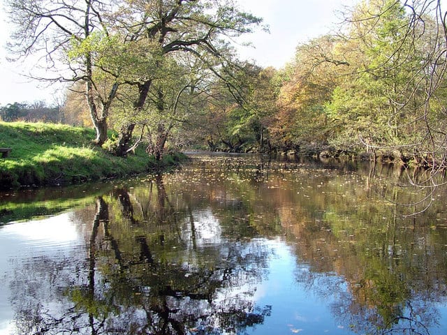
River Derwent (Derbyshire)River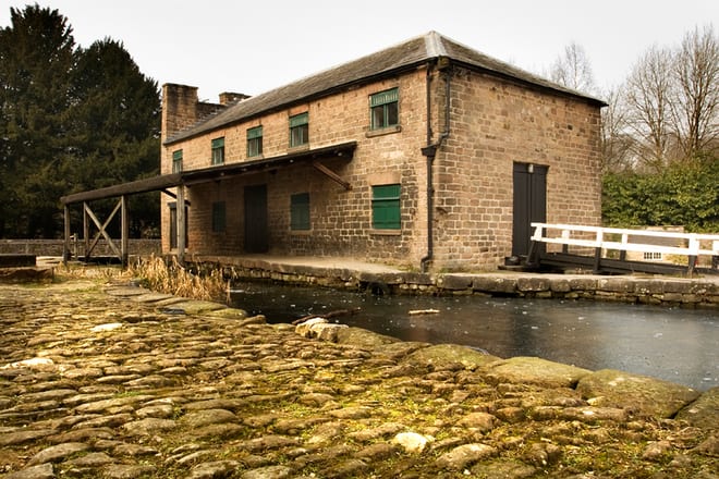 Cromford CanalCanal · 0.9 mi (about 1 mi on foot)
 Peak DistrictNational Park · 1.1 mi (about 1.5 mi on foot)
Also nearby
Walking distances are estimates from the straight-line distance and the type of ground, not a measured route. Check a map before you set off.
About Matlock Bath Rail Station
Matlock Bath is a village and civil parish in Derbyshire, England. It lies in the Derbyshire Dales, south of Matlock on the main A6 road, and approximately halfway between Buxton and Derby. The population of the civil parish at the 2011 census was 753. Originally built at the head of a dead-end dirt road running along the valley of the River Derwent from Matlock, the settlement developed in the 19th century as residential and a spa town which remains a tourist destination. The steep hillside restricts development, with most buildings on one side of the valley and only footbridges across the river. The road was upgraded, becoming a through-way, now designated A6, avoiding the previous coaching road approach to Matlock from Cromford over very steep hills near to the Riber plateau area.
Hills, trails and walks from the platform
Walking distances are estimates from the straight-line distance and the type of ground, not a measured route. Check a map before you set off.
| High Tor | 205m | 0.3 mi (about 0.4 to 0.5 mi on foot) |
| Masson Hill | 338m | 0.7 mi (about 1 mi on foot) |
| Bilberry Knoll | 282m | 0.8 mi (about 1 mi on foot) |
| Scarthin Rock | 121m | 0.9 mi (about 1 to 1.5 mi on foot) |
| BolehillE | 323m | 1.9 mi (about 2.5 to 3 mi on foot) |
| Pennine Bridleway ↗ | 206.0 mi | 2.5 mi |
Route data © OpenStreetMap contributors, ODbL – coverage and route quality vary by area.
| Derwent Valley Heritage Way ↗Regional | 51.9 mi | 0.0 mi |
| Limestone Way ↗Regional | 48.9 mi | 0.9 mi |
| Peak District Boundary Walk Stage 13 ↗Regional | 10.3 mi | 1.1 mi |
| High Peak Trail ↗Regional | 17.8 mi | 1.4 mi |
| Midshires Way ↗Regional | 226.7 mi | 1.4 mi |