





Merthyr Tydfil Rail Station
- River
- National Park
- Peaks nearby
- 30
- highest 617m
- Walking routes
- 12
- within 10 miles
What's on the doorstep
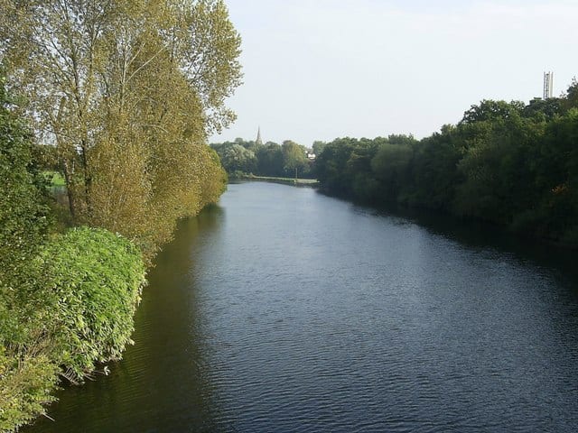
River TaffRiver · 0.2 mi (about 0.2 mi on foot) Bannau Brycheiniog / Brecon BeaconsNational Park · 1.6 mi (about 2 mi on foot)
Walking distances are estimates from the straight-line distance and the type of ground, not a measured route. Check a map before you set off.
About Merthyr Tydfil Rail Station
Merthyr Tydfil is the main town in Merthyr Tydfil County Borough, Wales, administered by Merthyr Tydfil County Borough Council. It is about 23 miles (37 km) north of Cardiff. Often called just Merthyr, it is said to be named after Tydfil, daughter of King Brychan of Brycheiniog, who according to legend was slain at Merthyr by pagans about 480 CE. Merthyr generally means "martyr" in modern Welsh, but here closer to the Latin martyrium: a place of worship built over a martyr's relics. Similar place names in south Wales are Merthyr Cynog, Merthyr Dyfan and Merthyr Mawr.
Hills, trails and walks from the platform
Walking distances are estimates from the straight-line distance and the type of ground, not a measured route. Check a map before you set off.
| Mynydd Aberdar | 457m | 1.9 mi (about 2.5 mi on foot) |
| Mynydd Gethin | 492m | 2.2 mi (about 3 mi on foot) |
| Twyn y Waun | 460m | 2.2 mi (about 3 mi on foot) |
| Morlais Hill | 382m | 2.2 mi (about 3 mi on foot) |
| Mynydd Cilfach-yr-encil | 446m | 2.4 mi (about 3 to 3.5 mi on foot) |
No National Trails within 10 miles.
Route data © OpenStreetMap contributors, ODbL – coverage and route quality vary by area.
| Taff Trail ↗Regional | 63.0 mi | 0.2 mi |
| South Wales Traverse ↗ | 22.6 mi | 5.3 mi |
| Cychoedd-a-Dolenni Loops & Links ↗ | 5.9 mi | 5.6 mi |
| Cambrian Way ↗National | 300.1 mi | 6.0 mi |
| Beacons Way ↗Regional | 96.5 mi | 6.6 mi |