





Muirend Rail Station
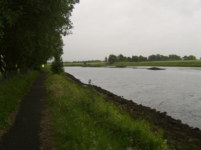
- River
- Peaks nearby
- 30
- highest 83m
- Walking routes
- 20
- within 10 miles
What's on the doorstep
Walking distances are estimates from the straight-line distance and the type of ground, not a measured route. Check a map before you set off.
About Muirend Rail Station
Muirend is an area on the South side of Glasgow, Scotland. It is situated about 4 miles (6.5 km) south of Glasgow city centre. Muirend became extensively urbanised in the 20th century, developing into a commuter suburb. In a 2014 Royal Mail survey, the G44 postcode – which includes Muirend – was rated as the most desirable area of Scotland to live in. Neighbouring areas include Cathcart, Merrylee and Newlands in Glasgow, and Netherlee and Giffnock in East Renfrewshire. Some buildings that are locally associated with Muirend, including the main row of shops, as well as Hazelden Park and Muirend Pavilion, are located in East Renfrewshire.
Hills, trails and walks from the platform
Walking distances are estimates from the straight-line distance and the type of ground, not a measured route. Check a map before you set off.
| Camp Hill [Queen's Park] | 64m | 1.5 mi (about 2 mi on foot) |
| Dumbreck | 53m | 2.4 mi (about 3 to 3.5 mi on foot) |
| Cathkin Braes | 200m | 2.6 mi (about 3.5 mi on foot) |
| Bellahouston Park | 50m | 3.0 mi (about 4 to 4.5 mi on foot) |
| South Cathkin Hill | 227m | 3.5 mi (about 4.5 to 5 mi on foot) |
No National Trails within 10 miles.
Route data © OpenStreetMap contributors, ODbL – coverage and route quality vary by area.
| White Cart Walkway ↗Local | 6.3 mi | 0.4 mi |
| Magnificent 11 ↗Local | 8.0 mi | 0.4 mi |
| Stamperland Walkway ↗Local | 1.2 mi | 0.4 mi |
| Old Drove Road Walking Route ↗ | 3.8 mi | 1.3 mi |
| Whithorn Way - a Glasgow Cathedral to Girvan ↗Regional | 76.4 mi | 2.2 mi |