






Otford Rail Station
- National Landscape
- National Trail
- River
- Peaks nearby
- 20
- highest 95m
- Walking routes
- 21
- within 10 miles
What's on the doorstep
Kent Downs National LandscapeNational Landscape North Downs WayNational Trail
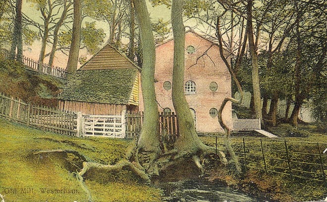 DarentRiver · 0.5 mi (about 0.6 mi on foot)
Walking distances are estimates from the straight-line distance and the type of ground, not a measured route. Check a map before you set off.
About Otford Rail Station
Otford is a village and civil parish in the Sevenoaks District of Kent, England. It lies on the River Darent, 3 miles (5 km) north of Sevenoaks. Otford's four churches are the Anglican Church of St Bartholomew in the village centre, the Otford Methodist Church, the Most Holy Trinity Roman Catholic Church, and the Otford Evangelical Church. By the village pond, there are pubs, cafes and shops. The village has three schools, Otford Primary School, St Michael's Prep School, and Russell House.
Hills, trails and walks from the platform
Walking distances are estimates from the straight-line distance and the type of ground, not a measured route. Check a map before you set off.
| Wrotham Hill | 235m | 3.8 mi (about 5 to 5.5 mi on foot) |
| Raspit Hill | 207m | 4.0 mi (about 5 to 6 mi on foot) |
| River Hill | 215m | 4.4 mi (about 5.5 to 6.5 mi on foot) |
| Bayley's Hill | 216m | 4.7 mi (about 6 to 7 mi on foot) |
| Farningham Wood | 124m | 5.2 mi (about 7 to 7.5 mi on foot) |
| North Downs Way ↗ | 158.9 mi | 0.0 mi |
Route data © OpenStreetMap contributors, ODbL – coverage and route quality vary by area.
| Otford to Canterbury Cathedral ↗Regional | 59.2 mi | 0.0 mi |
| North Downs Way (Eastern) ↗National | 115.1 mi | 0.0 mi |
| Southwark Cathedral to Otford ↗Regional | 23.1 mi | 0.5 mi |
| Darent Valley Path ↗Local | 23.7 mi | 0.5 mi |
| Samuel Palmer Trail ↗Local | 4.6 mi | 1.5 mi |