





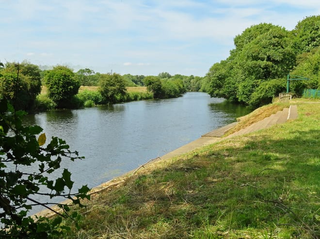
Penistone Rail Station
- Disused railway
- River
- National Park
- Peaks nearby
- 30
- highest 550m
- Walking routes
- 20
- within 10 miles
What's on the doorstep
River DonRiver · 0.1 mi (about 0.1 mi on foot) Peak DistrictNational Park · 2.9 mi (about 3.5 to 4 mi on foot)
Also nearby
- Woodhead Line (South Yorkshire)
Disused railway
Walking distances are estimates from the straight-line distance and the type of ground, not a measured route. Check a map before you set off.
About Penistone Rail Station
Penistone is a market town and civil parish in the Metropolitan Borough of Barnsley, South Yorkshire, England. Historically in the ancient Wapentake of Staincross and the West Riding of Yorkshire, it lies 7 miles (11 km) west of central Barnsley, 17 miles (27 km) north-east of Glossop, 15 miles (24 km) north-west of Sheffield, 27 miles (43 km) south-west of Leeds and 29 miles (47 km) east of Manchester. Sited in the foothills of the Pennines, it had a population of 13,270 at the 2021 census. The town is frequently noted on lists of unusual place names.
Hills, trails and walks from the platform
Walking distances are estimates from the straight-line distance and the type of ground, not a measured route. Check a map before you set off.
| Hunger Hill | 275m | 0.9 mi (about 1 to 1.5 mi on foot) |
| Hartcliff Hill | 365m | 2.1 mi (about 2.5 to 3 mi on foot) |
| Briery Busk | 311m | 2.6 mi (about 3.5 to 4 mi on foot) |
| Champany Hill | 195m | 3.3 mi (about 4 to 4.5 mi on foot) |
| Pool Hill | 239m | 3.4 mi (about 4.5 to 5 mi on foot) |
No National Trails within 10 miles.
Route data © OpenStreetMap contributors, ODbL – coverage and route quality vary by area.
| Pen-Den Trail ↗Local | 5.3 mi | 0.0 mi |
| Trans-Pennine Trail (Stockport to Silkstone Common) ↗Regional | 37.2 mi | 0.0 mi |
| Penistone Boundary Walk ↗Local | 15.6 mi | 0.3 mi |
| Old Salt Road ↗ | 25.0 mi | 1.5 mi |
| Barnsley Boundary Walk ↗Regional | 40.1 mi | 1.8 mi |