





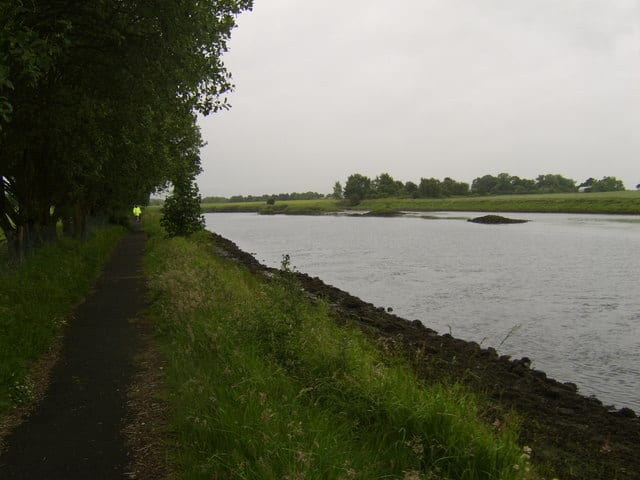
Pollokshaws East Rail Station
- River
- Peaks nearby
- 30
- highest 83m
- Walking routes
- 20
- within 10 miles
What's on the doorstep
About Pollokshaws East Rail Station
Pollokshaws East railway station is a railway station in Glasgow, Scotland, serving parts of the Pollokshaws, Auldhouse, Newlands and Shawlands neighbourhoods of the city. The station is managed by ScotRail and is located on the Cathcart Circle Line. Services are provided by ScotRail and have previously been provided by ScotRail on behalf of Strathclyde Passenger Transport.
Source: Wikipedia, CC BY-SA.
Hills, trails and walks from the platform
Walking distances are estimates from the straight-line distance and the type of ground, not a measured route. Check a map before you set off.
| Camp Hill [Queen's Park] | 64m | 0.7 mi (about 1 mi on foot) |
| Dumbreck | 53m | 1.2 mi (about 1.5 to 2 mi on foot) |
| Bellahouston Park | 50m | 1.9 mi (about 2.5 to 3 mi on foot) |
| Hurlet Hill | 66m | 3.4 mi (about 4.5 to 5 mi on foot) |
| Cathkin Braes | 200m | 3.4 mi (about 4.5 to 5 mi on foot) |
No National Trails within 10 miles.
Route data © OpenStreetMap contributors, ODbL – coverage and route quality vary by area.
| White Cart Walkway ↗Local | 6.3 mi | 0.4 mi |
| Whithorn Way - a Glasgow Cathedral to Girvan ↗Regional | 76.4 mi | 1.2 mi |
| Magnificent 11 ↗Local | 8.0 mi | 1.3 mi |
| Stamperland Walkway ↗Local | 1.2 mi | 1.6 mi |
| Clyde Walkway ↗National | 38.6 mi | 2.3 mi |