





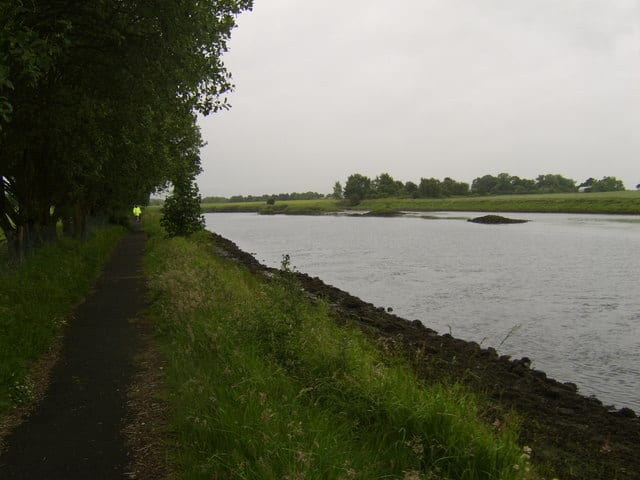
Paisley Gilmour Street Rail Station
- River
- Peaks nearby
- 30
- highest 98m
- Walking routes
- 20
- within 10 miles
What's on the doorstep
Walking distances are estimates from the straight-line distance and the type of ground, not a measured route. Check a map before you set off.
About Paisley Gilmour Street Rail Station
Paisley Gilmour Street railway station is the largest of the four stations serving the town of Paisley, Renfrewshire, Scotland, and acts as the town's principal railway station and also serves Glasgow Airport with easy walking and cycling access as well as a bus service from the station to the terminal. The station is managed by ScotRail and is on the Ayrshire Coast Line and Inverclyde Line, 6 miles 47 chains (10.6 km) measured from Glasgow Bridge Street. It is between Paisley St James to the west, Johnstone to the south west, and Hillington West to the north east. The station is protected as a category B listed building.
Hills, trails and walks from the platform
Walking distances are estimates from the straight-line distance and the type of ground, not a measured route. Check a map before you set off.
| Byres Hill | 55m | 1.1 mi (about 1.5 mi on foot) |
| Hurlet Hill | 66m | 2.7 mi (about 3.5 to 4 mi on foot) |
| Thornliemuir | 237m | 3.5 mi (about 4.5 to 5 mi on foot) |
| Bellahouston Park | 50m | 4.1 mi (about 5.5 to 6 mi on foot) |
| Craigend Hill | 59m | 4.2 mi (about 5.5 to 6 mi on foot) |
No National Trails within 10 miles.
Route data © OpenStreetMap contributors, ODbL – coverage and route quality vary by area.
| Whithorn Way - a Glasgow Cathedral to Girvan ↗Regional | 76.4 mi | 0.2 mi |
| White Cart Walkway ↗Local | 6.3 mi | 1.7 mi |
| Forth & Clyde/Union Canal Towpath ↗National | 63.1 mi | 3.9 mi |
| Drumchapel Way ↗Local | 4.6 mi | 4.6 mi |
| Clyde Walkway ↗National | 38.6 mi | 4.8 mi |