





Rochdale Rail Station
- Canal
- Special Area of Conservation
- River
- National Trail
- Lake or reservoir
- Peaks nearby
- 30
- highest 482m
- Walking routes
- 22
- within 10 miles
What's on the doorstep
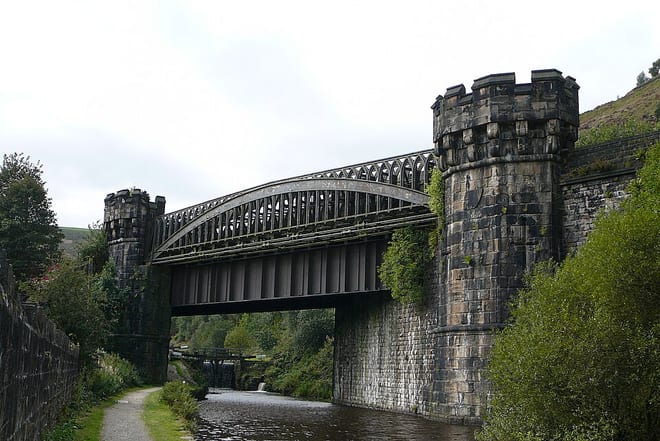
Rochdale CanalCanal · 0.3 mi (about 0.4 mi on foot)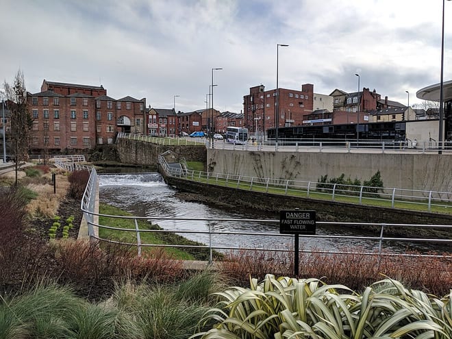 River RochRiver · 0.4 mi (about 0.5 to 0.6 mi on foot)
 Pennine BridlewayNational Trail · 2.3 mi (about 2.5 to 3 mi on foot)
Also nearby
Walking distances are estimates from the straight-line distance and the type of ground, not a measured route. Check a map before you set off.
About Rochdale Rail Station
Rochdale is a town in Greater Manchester, England, and the administrative centre of the Metropolitan Borough of Rochdale. In the 2021 Census, the town had a population of 111,261, compared to 223,773 for the wider borough. Rochdale is in the foothills of the South Pennines and lies in the dale (valley) of the River Roch, 5 miles (8 km) north-west of Oldham and 10 miles (16 km) north-east of Manchester.
Hills, trails and walks from the platform
Walking distances are estimates from the straight-line distance and the type of ground, not a measured route. Check a map before you set off.
| Gandy Brow | 238m | 2.2 mi (about 3 mi on foot) |
| Moss Gate | 253m | 2.3 mi (about 3 to 3.5 mi on foot) |
| Bagslate Moor | 204m | 2.4 mi (about 3 to 3.5 mi on foot) |
| Rushy Hill | 317m | 2.6 mi (about 3.5 to 4 mi on foot) |
| Moy Hill | 251m | 2.7 mi (about 3.5 to 4 mi on foot) |
| Pennine Bridleway ↗ | 206.0 mi | 2.3 mi |
| Pennine Way ↗ | 270.6 mi | 5.0 mi |
Route data © OpenStreetMap contributors, ODbL – coverage and route quality vary by area.
| Rochdale Way ↗Regional | 48.4 mi | 1.7 mi |
| GM Ringway Stage 11 ↗Regional | 12.6 mi | 1.9 mi |
| Oldham Way ↗Local | 42.6 mi | 2.1 mi |
| Rossendale Way ↗Regional | 41.7 mi | 2.2 mi |
| Mary Towneley Loop ↗Regional | 44.9 mi | 2.3 mi |