





Scotscalder Rail Station
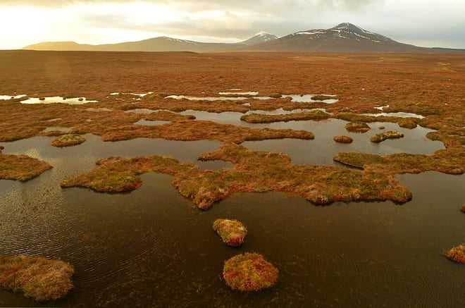
- Special Area of Conservation
- Wild Land Area
- Peaks nearby
- 23
- highest 94m
- Walking routes
- 0
- within 10 miles
What's on the doorstep
Walking distances are estimates from the straight-line distance and the type of ground, not a measured route. Check a map before you set off.
About Scotscalder Rail Station
Scots Calder is an area within Halkirk, Northern Scotland. It is served by Scotscalder railway station which is operated by ScotRail. The B870 runs directly through the centre with Achagie and Thurso to the north and Olgrinmore and Westerdale to the south. It is operated under the Highland Authority. A small car park, with 2 spaces, can be found at Scotscalder railway station that is open, free, 24 hours a day. There are no bus services operating from Scotscalder however a short walk or train journey can take you to local travel services.
Hills, trails and walks from the platform
Walking distances are estimates from the straight-line distance and the type of ground, not a measured route. Check a map before you set off.
| Ben Dorrery | 244m | 2.2 mi (about 3 mi on foot) |
| Beinn Freiceadain | 239m | 2.3 mi (about 3 to 3.5 mi on foot) |
| Lorg an Fhamhair | 127m | 3.1 mi (about 4 to 4.5 mi on foot) |
| Hill of Lieurary | 137m | 3.6 mi (about 4.5 to 5 mi on foot) |
| Spittal Hill | 176m | 4.5 mi (about 6 to 6.5 mi on foot) |
No National Trails within 10 miles.
Route data © OpenStreetMap contributors, ODbL – coverage and route quality vary by area.
No waymarked routes within 10 miles.