





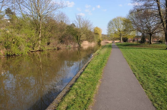
Selly Oak Rail Station
- Canal
- Lake or reservoir
- Peaks nearby
- 23
- highest 316m
- Walking routes
- 20
- within 10 miles
What's on the doorstep
Worcester and Birmingham CanalCanalAlso nearby
Walking distances are estimates from the straight-line distance and the type of ground, not a measured route. Check a map before you set off.
About Selly Oak Rail Station
Selly Oak is a suburban area in south-west Birmingham, England, located approximately 5 miles (8 km) from the city centre. Named after a prominent oak tree that once stood at a major crossroads, the area encompasses the neighbourhoods of Bournbrook, Selly Park, and Ten Acres. It is bordered by Edgbaston and Harborne to the north, and Weoley Castle and Bournville to the south.
Hills, trails and walks from the platform
Walking distances are estimates from the straight-line distance and the type of ground, not a measured route. Check a map before you set off.
| Warley Park | 236m | 2.9 mi (about 4 mi on foot) |
| Frankley Beeches | 256m | 3.7 mi (about 5 to 5.5 mi on foot) |
| High Hill | 208m | 3.8 mi (about 5 to 5.5 mi on foot) |
| Rednal Hill North Top | 250m | 4.8 mi (about 6.5 to 7 mi on foot) |
| Rednal Hill | 268m | 5.0 mi (about 6.5 to 7.5 mi on foot) |
No National Trails within 10 miles.
Route data © OpenStreetMap contributors, ODbL – coverage and route quality vary by area.
| Selly Oak Park Nature Trail ↗Local | 0.7 mi | 0.3 mi |
| Bourn Brook Walkway ↗Local | 3.5 mi | 0.4 mi |
| Birmingham Platinum Jubilee Walkway ↗Local | 10.4 mi | 0.5 mi |
| Bournville Heritage Walk ↗Local | 1.2 mi | 0.8 mi |
| Balsall Heath Tree Trail West ↗Local | 1.2 mi | 1.9 mi |