






Southease Rail Station
- National Park
- National Trail
- River
- Peaks nearby
- 13
- highest 87m
- Walking routes
- 21
- within 10 miles
What's on the doorstep
South DownsNational Park South Downs WayNational Trail
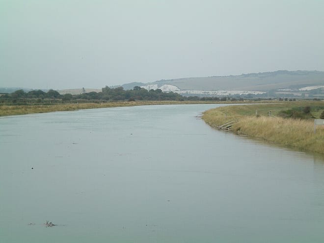 OuseRiver · 0.2 mi (about 0.2 to 0.3 mi on foot)
Walking distances are estimates from the straight-line distance and the type of ground, not a measured route. Check a map before you set off.
About Southease Rail Station
Southease is a small village and civil parish in East Sussex, in South East England between the A26 road and the C7 road from Lewes to Newhaven. The village is to the west of the River Ouse, Sussex and has a church dedicated to Saint Peter. Southease railway station lies roughly a kilometre east over the river and may be reached via a swing bridge.
Source: Wikipedia, CC BY-SA.
Hills, trails and walks from the platform
Walking distances are estimates from the straight-line distance and the type of ground, not a measured route. Check a map before you set off.
| Mount Caburn | 150m | 2.3 mi (about 3 to 3.5 mi on foot) |
| Rushy Hill | 87m | 3.0 mi (about 4 to 4.5 mi on foot) |
| Cliffe Hill | 164m | 3.3 mi (about 4 to 4.5 mi on foot) |
| Firle BeaconM | 218m | 3.4 mi (about 4.5 to 5 mi on foot) |
| Castle Hill | 200m | 3.7 mi (about 5 to 5.5 mi on foot) |
| South Downs Way ↗ | 114.0 mi | 0.0 mi |
Route data © OpenStreetMap contributors, ODbL – coverage and route quality vary by area.
| Southease to Monk's House Circular Walk, Monks House ↗Local | 3.9 mi | 0.0 mi |
| South Downs Way ↗National | 101.7 mi | 0.0 mi |
| European walking route E9, Queen Elizabeth Country Park to Jevington ↗International | 71.3 mi | 0.0 mi |
| Sussex Ouse Valley Way ↗Regional | 44.9 mi | 0.2 mi |
| Greenwich Meridian Trail ↗Regional | 246.4 mi | 1.1 mi |