





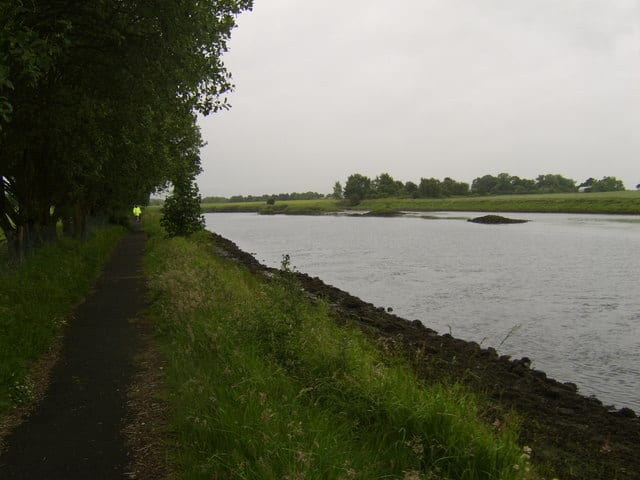
Shawlands Rail Station
- River
- Peaks nearby
- 30
- highest 83m
- Walking routes
- 20
- within 10 miles
What's on the doorstep
Walking distances are estimates from the straight-line distance and the type of ground, not a measured route. Check a map before you set off.
About Shawlands Rail Station
Shawlands is a Southside suburb of Glasgow, Scotland, located two miles south of the River Clyde. The area, considered the "Heart of the Southside", is known for its independent restaurants and cafés, art scene, public parks, period terraces, and red and blond sandstone tenements. Shawlands was named one of the best places to live in Scotland in 2022 and 2023 by The Sunday Times, and one of the world's coolest neighbourhoods by Time Out Magazine with judges describing it as "the city's best area to live and socialise”. It is located between Pollok Country Park – the home of the Burrell Collection and Pollok House – and the acclaimed Victorian park Queen's Park.
Hills, trails and walks from the platform
Walking distances are estimates from the straight-line distance and the type of ground, not a measured route. Check a map before you set off.
| Camp Hill [Queen's Park] | 64m | 0.8 mi (about 1 mi on foot) |
| Dumbreck | 53m | 0.9 mi (about 1 to 1.5 mi on foot) |
| Bellahouston Park | 50m | 1.5 mi (about 2 mi on foot) |
| Hurlet Hill | 66m | 3.2 mi (about 4 to 4.5 mi on foot) |
| Cathkin Braes | 200m | 3.8 mi (about 5 to 5.5 mi on foot) |
No National Trails within 10 miles.
Route data © OpenStreetMap contributors, ODbL – coverage and route quality vary by area.
| White Cart Walkway ↗Local | 6.3 mi | 0.4 mi |
| Whithorn Way - a Glasgow Cathedral to Girvan ↗Regional | 76.4 mi | 0.8 mi |
| Magnificent 11 ↗Local | 8.0 mi | 1.7 mi |
| Stamperland Walkway ↗Local | 1.2 mi | 2.0 mi |
| Clyde Walkway ↗National | 38.6 mi | 2.0 mi |