





Slough Rail Station
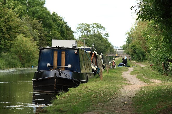
- Canal
- Lake or reservoir
- Peaks nearby
- 12
- highest 96m
- Walking routes
- 21
- within 10 miles
What's on the doorstep
Walking distances are estimates from the straight-line distance and the type of ground, not a measured route. Check a map before you set off.
About Slough Rail Station
Slough is a town in Berkshire, England, in the Thames Valley, 20 miles (32 km) west of central London and 19 miles (31 km) north-east of Reading, at the intersection of the M4, M40 and M25 motorways. It is part of the historic county of Buckinghamshire. In 2021, the population of the town was 143,184. The wider Borough of Slough had a population of 158,500.
Source: Wikipedia, CC BY-SA.
Hills, trails and walks from the platform
Walking distances are estimates from the straight-line distance and the type of ground, not a measured route. Check a map before you set off.
| Windsor Castle | 62m | 2.0 mi (about 2.5 to 3 mi on foot) |
| East Burnham Park | 51m | 2.3 mi (about 3 to 3.5 mi on foot) |
| Windsor Racecourse Island | 22m | 2.9 mi (about 4 mi on foot) |
| Mount Hill | 110m | 7.3 mi (about 9.5 to 10.5 mi on foot) |
| Shrubs Hill | 80m | 7.7 mi (about 10 to 11 mi on foot) |
| Thames Path ↗ | 213.5 mi | 1.4 mi |
Route data © OpenStreetMap contributors, ODbL – coverage and route quality vary by area.
| Grand Union Canal (Slough Arm) Walk ↗Regional | 5.0 mi | 0.4 mi |
| Jubilee River Path ↗ | 6.6 mi | 0.8 mi |
| Thames Path ↗National | 194.7 mi | 1.4 mi |
| European walking route E2 west, UK, South East England ↗International | 136.0 mi | 1.4 mi |
| Colne Valley Trail ↗Local | 18.8 mi | 1.7 mi |