






Walk the Thames Path by Train
Photo: Bencherlite, CC BY-SA 3.0, via Wikimedia Commons
The Thames Path follows England's best-known river from its Cotswold source through meadows, market towns, wooded reaches and the university city of Oxford before reaching London. Kemble, Oxford, Goring and Streatley, Henley-on-Thames and Windsor stations give train access along the route.
There are 44 stations within 2 miles of the Thames Path National Trail.
The route passes 25 DoBIH-listed peaks, the highest being Wytham Hill at 164m.
The Thames Path in brief
- Length
- 185 miles (298 km)
- Time to walk it
- About 14 days
The time is for the whole route; you can also walk it a section at a time.
Thames Path train stations
- TilehurstBronze walking rating
- ShiplakeBronze walking rating
- Wapping
- Barnes Bridge
- Hampton Court0.1 mi (about 0.1 mi on foot)
- Windsor & Eton Riverside0.1 mi (about 0.1 mi on foot)
- Kew Bridge0.1 mi (about 0.1 mi on foot)
- London Blackfriars0.1 mi (about 0.1 mi on foot)
- Battersea Park0.1 mi (about 0.1 mi on foot)
- Oxford0.1 mi (about 0.1 mi on foot)
- Imperial Wharf0.1 mi (about 0.1 mi on foot)
- Vauxhall0.1 mi (about 0.1 to 0.2 mi on foot)
- Henley-on-Thames0.1 mi (about 0.2 mi on foot)Bronze walking rating
- Wandsworth Town0.1 mi (about 0.2 mi on foot)
- Datchet0.1 mi (about 0.2 mi on foot)
- Bourne End0.2 mi (about 0.2 mi on foot)Bronze walking rating
- Marlow0.2 mi (about 0.2 to 0.3 mi on foot)Bronze walking rating
- Reading0.2 mi (about 0.3 mi on foot)
- Hampton Wick0.2 mi (about 0.3 mi on foot)
- Pangbourne0.2 mi (about 0.3 mi on foot)Bronze walking rating
- Putney0.3 mi (about 0.3 mi on foot)
- Greenwich0.3 mi (about 0.3 to 0.4 mi on foot)
- Strawberry Hill0.3 mi (about 0.3 to 0.4 mi on foot)
- Brentford0.3 mi (about 0.4 mi on foot)
- Appleford0.3 mi (about 0.4 to 0.5 mi on foot)
- Staines0.4 mi (about 0.4 to 0.5 mi on foot)
- Goring & Streatley0.4 mi (about 0.4 to 0.5 mi on foot)Bronze walking rating
- Kemble0.4 mi (about 0.5 mi on foot)Bronze walking rating
- Richmond (London)0.4 mi (about 0.5 mi on foot)
- Hampton (London)0.4 mi (about 0.5 to 0.6 mi on foot)
- Shepperton0.5 mi (about 0.5 to 0.6 mi on foot)
- Charlton0.5 mi (about 0.6 to 0.7 mi on foot)
- Sunnymeads0.6 mi (about 0.7 to 0.8 mi on foot)
- Egham0.7 mi (about 0.8 to 0.9 mi on foot)
- Radley0.7 mi (about 1 mi on foot)
- Taplow0.9 mi (about 1 mi on foot)
- Addlestone0.9 mi (about 1 mi on foot)
- Maidenhead0.9 mi (about 1 mi on foot)
- Cholsey0.9 mi (about 1 to 1.5 mi on foot)Bronze walking rating
- Kensington (Olympia)1.0 mi (about 1 to 1.5 mi on foot)
- Sunbury1.0 mi (about 1.5 mi on foot)
- Walton-on-Thames1.1 mi (about 1.5 mi on foot)
- Earley1.7 mi (about 2 to 2.5 mi on foot)
- Oxford Parkway1.7 mi (about 2 to 2.5 mi on foot)
Walking distances are estimates from the straight-line distance and the type of ground, not a measured route. Check a map before you set off.
Good to know
How long is the Thames Path?
The Thames Path is 185 miles (298 km) long.
How long does it take to walk the Thames Path?
About 14 days for the whole route. You can also walk it a section at a time, from one station to the next.
Where does the Thames Path start and finish?
It starts at The source of the Thames, Cotswolds and finishes at Woolwich.
More of Thames Path
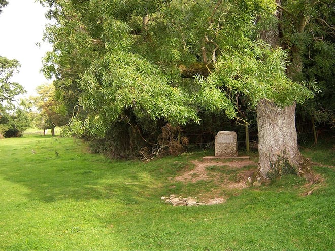
Photo: Richard75 at English Wikipedia, CC BY-SA 3.0, via Wikimedia Commons
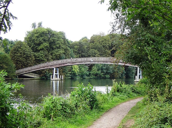
Photo: Motmit, CC BY-SA 3.0, via Wikimedia Commons
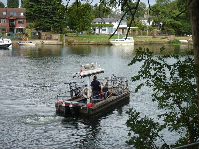
Photo: Rick Hall., CC BY-SA 2.0, via Wikimedia Commons