






Somerleyton Rail Station
- National Park
- River
- Peaks nearby
- 1
- highest 34m
- Walking routes
- 20
- within 10 miles
What's on the doorstep
Walking distances are estimates from the straight-line distance and the type of ground, not a measured route. Check a map before you set off.
About Somerleyton Rail Station
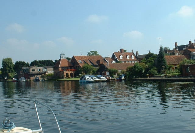
Somerleyton is a village and former civil parish, now in the parish of Somerleyton, Ashby and Herringfleet, in the East Suffolk district, in the north of the English county of Suffolk. It is 4.5 miles (7.2 km) north-west of Lowestoft and 5.5 miles (8.9 km) south-west of Great Yarmouth. The village is closely associated with Somerleyton Hall and was largely rebuilt as a model village in the 19th century at the direction of Samuel Morton Peto. The parish was combined with Herringfleet and Ashby to create the parish of "Somerleyton, Ashby and Herringfleet" on 1 April 1987. This town is the birthplace of the Hovercraft.
Hills, trails and walks from the platform
Walking distances are estimates from the straight-line distance and the type of ground, not a measured route. Check a map before you set off.
| Normanston Hill | 34m | 4.0 mi (about 5 to 6 mi on foot) |
No National Trails within 10 miles.
Route data © OpenStreetMap contributors, ODbL – coverage and route quality vary by area.
| Wherry Lines Walk 6 ↗Local | 7.8 mi | 0.0 mi |
| Waveney Valley Walks - Somerleyton ↗Local | 8.1 mi | 0.0 mi |
| Angles Way ↗Regional | 92.8 mi | 0.0 mi |
| Wherry Lines Walk 5 ↗Local | 8.6 mi | 1.8 mi |
| Via Beata ↗Regional | 71.8 mi | 2.4 mi |