





Smethwick Rolfe Street Rail Station
- Canal
- Lake or reservoir
- Peaks nearby
- 26
- highest 316m
- Walking routes
- 20
- within 10 miles
What's on the doorstep
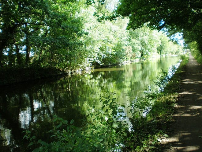
Birmingham New Main Line CanalCanal · 0.1 mi (about 0.1 mi on foot)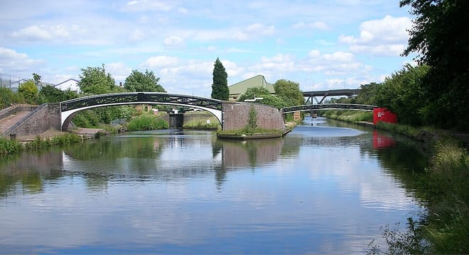 Birmingham Old Main Line CanalCanal · 0.1 mi (about 0.1 mi on foot)
Also nearby
Walking distances are estimates from the straight-line distance and the type of ground, not a measured route. Check a map before you set off.
About Smethwick Rolfe Street Rail Station
Smethwick Rolfe Street is one of two railway stations serving the town of Smethwick, West Midlands, England. It is situated on the Rugby–Birmingham–Stafford line 3¼ miles (5 km) north west of Birmingham New Street. The station, and all trains serving it, are operated by West Midlands Railway. The other station serving Smethwick is Smethwick Galton Bridge, which is the next stop up the line.
Hills, trails and walks from the platform
Walking distances are estimates from the straight-line distance and the type of ground, not a measured route. Check a map before you set off.
| Warley Park | 236m | 2.0 mi (about 2.5 to 3 mi on foot) |
| Turner's Hill | 271m | 3.3 mi (about 4.5 to 5 mi on foot) |
| Cawney Hill | 254m | 4.2 mi (about 5.5 to 6 mi on foot) |
| Church Hill | 164m | 4.6 mi (about 6 to 6.5 mi on foot) |
| Dudley Castle | 230m | 4.8 mi (about 6 to 7 mi on foot) |
No National Trails within 10 miles.
Route data © OpenStreetMap contributors, ODbL – coverage and route quality vary by area.
| Smethwick Places of Worship Heritage Trail ↗Local | 4.3 mi | 0.0 mi |
| Galton Valley Health Walk ↗Local | 2.4 mi | 0.0 mi |
| Walk Smethwick Heritage Trail ↗Local | 4.7 mi | 0.0 mi |
| Revolution Walk ↗Local | 3.7 mi | 0.1 mi |
| Galton Valley Walk ↗Local | 1.1 mi | 0.1 mi |