





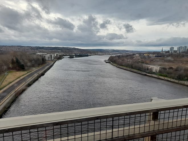
Stocksfield Rail Station
- River
- Disused railway
- National Landscape
- Peaks nearby
- 20
- highest 312m
- Walking routes
- 17
- within 10 miles
What's on the doorstep
River Tyne (Northumberland)River · 0.2 mi (about 0.3 mi on foot) North Pennines National LandscapeNational Landscape · 4.4 mi (about 5.5 to 6 mi on foot)
Also nearby
Walking distances are estimates from the straight-line distance and the type of ground, not a measured route. Check a map before you set off.
About Stocksfield Rail Station
Stocksfield is a small village situated close to the River Tyne, about 14 miles (23 km) west of Newcastle upon Tyne in the southern part of Northumberland, England. There are several smaller communities within the parish of Stocksfield, including Branch End, New Ridley, Broomley, Hindley and the Painshawfield Estate. Other villages in Stocksfield's postal district include Bywell, Newton, Mickley, and Hedley on the Hill.
Hills, trails and walks from the platform
Walking distances are estimates from the straight-line distance and the type of ground, not a measured route. Check a map before you set off.
| Mickley Moor | 209m | 1.7 mi (about 2.5 mi on foot) |
| Whittington Hill | 179m | 2.7 mi (about 3.5 to 4 mi on foot) |
| Currock Hill | 260m | 2.9 mi (about 4 mi on foot) |
| Currock Hill East Top | 259m | 3.5 mi (about 4.5 to 5 mi on foot) |
| Shildon Hill | 189m | 3.7 mi (about 5 to 5.5 mi on foot) |
| Hadrian's Wall Path ↗ | 85.8 mi | 4.3 mi |
Route data © OpenStreetMap contributors, ODbL – coverage and route quality vary by area.
| Stocksfields Community Woodland Trails ↗Local | 2.8 mi | 0.0 mi |
| Burnside Close ↗Local | 1.1 mi | 2.4 mi |
| Historic Fortifications Trail ↗Local | 9.4 mi | 4.1 mi |
| Historic Dilston Trail ↗Local | 4.8 mi | 4.2 mi |
| Hadrian's Wall Path ↗National | 86.7 mi | 4.3 mi |