





St Denys Rail Station
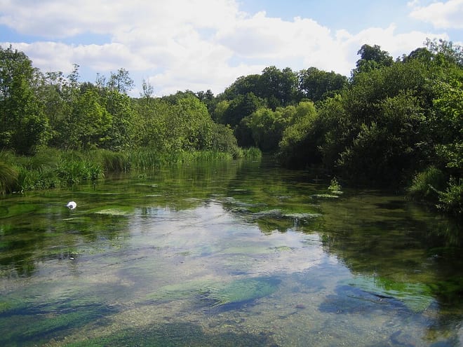
- River
- Peaks nearby
- 16
- highest 97m
- Walking routes
- 21
- within 10 miles
What's on the doorstep
Walking distances are estimates from the straight-line distance and the type of ground, not a measured route. Check a map before you set off.
About St Denys Rail Station
St Denys is a partially riverside district of Southampton, England, centred 1.5 miles (2.4 km) north north-east of the city centre facing variously Bitterne Park and quay across the River Itchen estuary. The river is here spanned in the mid-east extreme of the district by Cobden Bridge, one of five within the city's broad boundaries, six including the railway bridge 100 m south. It is separated from the city centre by the districts sometimes known as Bevois Valley and New Town, in turn and to the south a riverside boardwalk allows pedestrian and bicycle access to the Mount Pleasant Industrial Estate and Northam.
Hills, trails and walks from the platform
Walking distances are estimates from the straight-line distance and the type of ground, not a measured route. Check a map before you set off.
| Bassett Avenue | 82m | 2.1 mi (about 2.5 to 3 mi on foot) |
| Harefield | 83m | 2.3 mi (about 3 to 3.5 mi on foot) |
| Chilworth | 91m | 3.2 mi (about 4 to 4.5 mi on foot) |
| Toot Hill | 86m | 4.3 mi (about 5.5 to 6 mi on foot) |
| Cranbury Park | 88m | 6.0 mi (about 8 to 8.5 mi on foot) |
| South Downs Way ↗ | 114.0 mi | 9.9 mi |
Route data © OpenStreetMap contributors, ODbL – coverage and route quality vary by area.
| St James' Way ↗Regional | 66.6 mi | 0.1 mi |
| Itchen Way ↗Regional | 32.0 mi | 0.3 mi |
| Bargeman's Walk ↗Local | 1.8 mi | 1.0 mi |
| Solent Way ↗Regional | 65.1 mi | 1.6 mi |
| European walking route E9, Milford on Sea to Queen Elizabeth Country Park ↗International | 70.8 mi | 1.6 mi |