





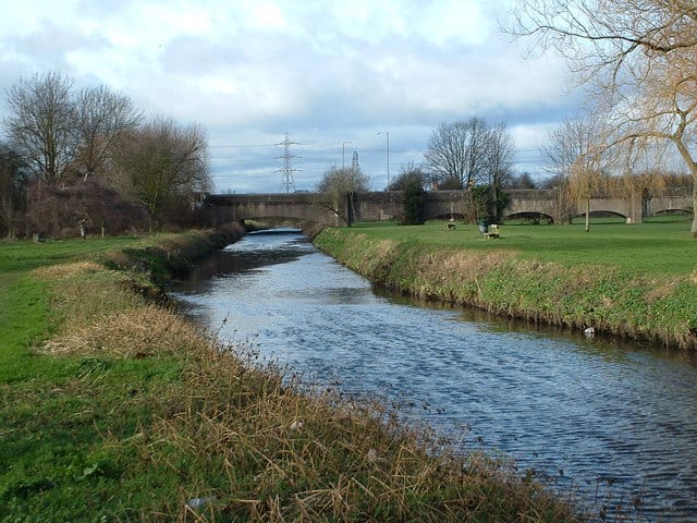
Stechford Rail Station
- River
- Peaks nearby
- 8
- highest 256m
- Walking routes
- 20
- within 10 miles
What's on the doorstep
Walking distances are estimates from the straight-line distance and the type of ground, not a measured route. Check a map before you set off.
About Stechford Rail Station
Stechford is an area of east Birmingham, England, situated about five miles (8.0 km) east of the city centre, bordering Ward End, Yardley, Hodge Hill and Kitts Green. Historically it lay within Worcestershire, on the boundary of Warwickshire.
Source: Wikipedia, CC BY-SA.
Hills, trails and walks from the platform
Walking distances are estimates from the straight-line distance and the type of ground, not a measured route. Check a map before you set off.
| Barr Beacon | 227m | 7.4 mi (about 9.5 to 11 mi on foot) |
| Warley Park | 236m | 7.6 mi (about 10 to 11 mi on foot) |
| Sutton Coldfield Hill | 178m | 7.8 mi (about 10 to 11.5 mi on foot) |
| Wood End Hill | 185m | 8.2 mi (about 10.5 to 12 mi on foot) |
| High Hill | 208m | 9.0 mi (about 11.5 to 13 mi on foot) |
No National Trails within 10 miles.
Route data © OpenStreetMap contributors, ODbL – coverage and route quality vary by area.
| Colebridge Way ↗Local | 0.3 mi | 1.5 mi |
| Millstream Way ↗Local | 2.7 mi | 2.0 mi |
| Rail Trail: Olton > Shirley ↗Local | 7.9 mi | 2.0 mi |
| Grand Union Canal Walk ↗Regional | 39.0 mi | 2.0 mi |
| Acocks Green Heritage Trail ↗Local | 4.4 mi | 2.3 mi |