





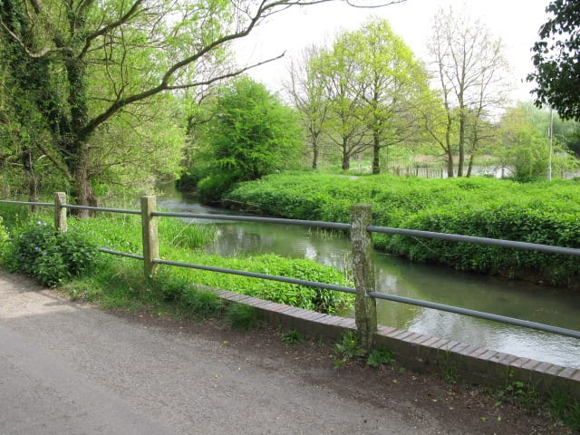
Sturry Rail Station
- River
- Special Area of Conservation
- National Trail
- Peaks nearby
- 4
- highest 69m
- Walking routes
- 21
- within 10 miles
What's on the doorstep
Great StourRiver · 0.3 mi (about 0.3 mi on foot) North Downs WayNational Trail · 2.1 mi (about 2.5 to 3 mi on foot)
Also nearby
Walking distances are estimates from the straight-line distance and the type of ground, not a measured route. Check a map before you set off.
About Sturry Rail Station
Sturry is a village on the Great Stour river situated 3 miles (4.8 km) northeast of Canterbury in Kent. Its large civil parish incorporates several hamlets and, until April 2019, the former mining village of Hersden.
Source: Wikipedia, CC BY-SA.
Hills, trails and walks from the platform
Walking distances are estimates from the straight-line distance and the type of ground, not a measured route. Check a map before you set off.
| Chartham Downs | 111m | 5.0 mi (about 6.5 to 7.5 mi on foot) |
| Clapham Hill | 69m | 5.2 mi (about 7 to 7.5 mi on foot) |
| Beech Pollard | 125m | 7.2 mi (about 9.5 to 10.5 mi on foot) |
| The Mount | 152m | 9.0 mi (about 11.5 to 13 mi on foot) |
| North Downs Way ↗ | 158.9 mi | 2.1 mi |
Route data © OpenStreetMap contributors, ODbL – coverage and route quality vary by area.
| Canterbury Outer Ring Walk ↗Local | 21.3 mi | 0.1 mi |
| Augustine Camino ↗Regional | 65.1 mi | 0.4 mi |
| Stour Valley Walk ↗Regional | 54.2 mi | 0.4 mi |
| Canterbury Middle Ring Walk ↗Local | 10.5 mi | 1.4 mi |
| Elham Valley Way ↗Regional | 21.9 mi | 2.1 mi |