





Summerston Rail Station
- Canal
- River
- Peaks nearby
- 30
- highest 83m
- Walking routes
- 20
- within 10 miles
What's on the doorstep
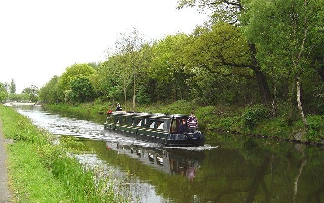
Forth and Clyde CanalCanal · 0.4 mi (about 0.5 to 0.6 mi on foot)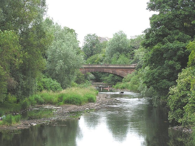 River KelvinRiver · 0.5 mi (about 0.6 mi on foot)
Walking distances are estimates from the straight-line distance and the type of ground, not a measured route. Check a map before you set off.
About Summerston Rail Station
Summerston is a residential area of Glasgow, Scotland. With most of the housing constructed in the 1970s, it is situated in the far north of the city and is considered to be part of the larger Maryhill district, but has a different postcode; other nearby neighbourhoods are Gilshochill to the south and Cadder to the south-east. With open farmland to the north-east, Summerston is separated from the southern parts of the town of Bearsden to the north-west by the River Kelvin and a golf course.
Hills, trails and walks from the platform
Walking distances are estimates from the straight-line distance and the type of ground, not a measured route. Check a map before you set off.
| Ruchill | 83m | 1.2 mi (about 1.5 mi on foot) |
| Cairn Hill | 73m | 1.7 mi (about 2 to 2.5 mi on foot) |
| Crow Hill | 82m | 1.8 mi (about 2.5 mi on foot) |
| Douglas Park | 81m | 1.9 mi (about 2.5 to 3 mi on foot) |
| Springburn Park | 111m | 2.7 mi (about 3.5 to 4 mi on foot) |
No National Trails within 10 miles.
Route data © OpenStreetMap contributors, ODbL – coverage and route quality vary by area.
| Kelvin Walkway ↗Local | 7.5 mi | 0.3 mi |
| Forth & Clyde/Union Canal Towpath ↗National | 63.1 mi | 0.4 mi |
| Cairnhill Woods ↗Local | 0.5 mi | 1.4 mi |
| Allander Walkway ↗Local | 2.8 mi | 2.0 mi |
| Thomas Muir Trail ↗Local | 11.7 mi | 2.3 mi |