





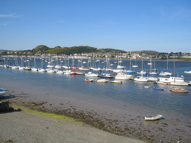
Tal-y-Cafn Rail Station
- River
- National Park
- Peaks nearby
- 30
- highest 91m
- Walking routes
- 16
- within 10 miles
What's on the doorstep
Afon ConwyRiver · 0.1 mi (about 0.1 mi on foot) Eryri / SnowdoniaNational Park · 1.4 mi (about 1.5 to 2 mi on foot)
Walking distances are estimates from the straight-line distance and the type of ground, not a measured route. Check a map before you set off.
About Tal-y-Cafn Rail Station
Tal-y-Cafn is a small settlement in Conwy county borough, north Wales, in the community of Eglwysbach.
Source: Wikipedia, CC BY-SA.
Hills, trails and walks from the platform
Walking distances are estimates from the straight-line distance and the type of ground, not a measured route. Check a map before you set off.
| Furnace Wood | 70m | 0.6 mi (about 0.8 mi on foot) |
| Llys y Gwynt [Tan-y-bryn] | 121m | 0.9 mi (about 1 to 1.5 mi on foot) |
| Bryn Glyn Uchaf | 108m | 1.2 mi (about 1.5 to 2 mi on foot) |
| Clytiau-poethion | 109m | 1.5 mi (about 2 mi on foot) |
| Pen-Or | 234m | 1.8 mi (about 2.5 mi on foot) |
No National Trails within 10 miles.
Route data © OpenStreetMap contributors, ODbL – coverage and route quality vary by area.
| Bodnant's Winter Garden Trail ↗Local | 0.2 mi | 0.9 mi |
| Huw Tom's Walk ↗Local | 6.4 mi | 1.7 mi |
| Cambrian Way ↗National | 300.1 mi | 3.1 mi |
| North Wales Path ↗Regional | 59.9 mi | 3.5 mi |
| Wales Coast Path (North Wales) main route ↗National | 86.1 mi | 3.6 mi |