





Tame Bridge Parkway Rail Station
- River
- Canal
- Peaks nearby
- 18
- highest 271m
- Walking routes
- 20
- within 10 miles
What's on the doorstep
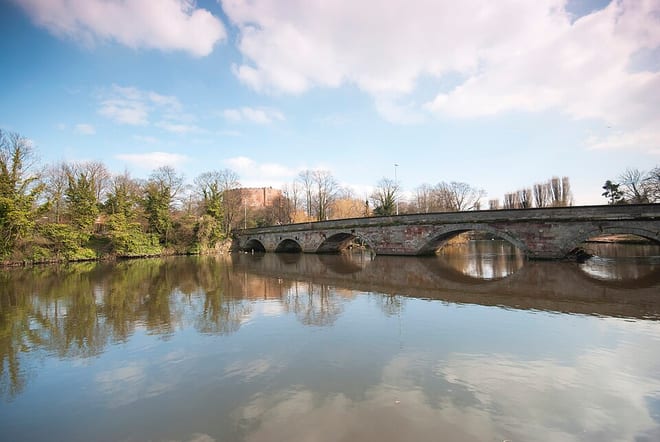
River Tame (West Midlands)River · 0.1 mi (about 0.1 mi on foot)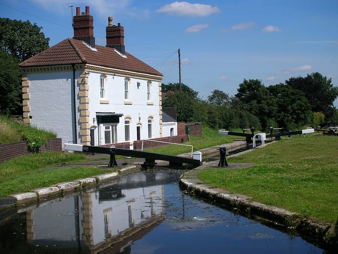 Tame Valley CanalCanal · 0.1 mi (about 0.1 to 0.2 mi on foot)
Walking distances are estimates from the straight-line distance and the type of ground, not a measured route. Check a map before you set off.
About Tame Bridge Parkway Rail Station
Tame Bridge Parkway is a railway station in the north of the borough of Sandwell, in the West Midlands, England, close to the boundary with Walsall. The station is operated by West Midlands Railway. It is situated on the Chase Line 8.25 miles (13.28 km) north of Birmingham New Street, part of the former Grand Junction Railway, opened in 1837.
Source: Wikipedia, CC BY-SA.
Hills, trails and walks from the platform
Walking distances are estimates from the straight-line distance and the type of ground, not a measured route. Check a map before you set off.
| Church Hill | 164m | 1.8 mi (about 2.5 mi on foot) |
| Barr Beacon | 227m | 3.1 mi (about 4 to 4.5 mi on foot) |
| Turner's Hill | 271m | 5.0 mi (about 6.5 to 7 mi on foot) |
| Dudley Castle | 230m | 5.1 mi (about 6.5 to 7.5 mi on foot) |
| Cawney Hill | 254m | 5.1 mi (about 6.5 to 7.5 mi on foot) |
No National Trails within 10 miles.
Route data © OpenStreetMap contributors, ODbL – coverage and route quality vary by area.
| Beacon Way ↗Regional | 23.2 mi | 0.8 mi |
| Paupers Memorial Trail ↗Local | 4.1 mi | 1.0 mi |
| Walk Wednesbury Heritage Trail ↗Local | 3.7 mi | 1.3 mi |
| Sandwell Park Colliery Trail ↗Local | 2.0 mi | 1.8 mi |
| Walsall Walk of Art ↗Local | 3.4 mi | 2.3 mi |