





Taunton Rail Station
- Canal
- River
- Peaks nearby
- 26
- highest 90m
- Walking routes
- 20
- within 10 miles
What's on the doorstep
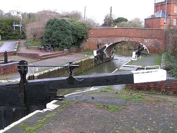
Bridgwater and Taunton CanalCanal · 0.2 mi (about 0.3 mi on foot)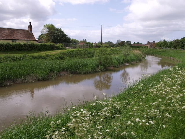 River ToneRiver · 0.2 mi (about 0.3 mi on foot)
Walking distances are estimates from the straight-line distance and the type of ground, not a measured route. Check a map before you set off.
About Taunton Rail Station
Taunton is the county town of Somerset, England. It is a market town and has a minster church. Its thousand-year history includes a 10th-century monastic foundation, owned by the Bishops of Winchester, which was rebuilt as Taunton Castle by the Normans in the 12th century. Parts of the inner ward house were turned into the Museum of Somerset and Somerset Military Museum. For the Second Cornish uprising of 1497, Perkin Warbeck brought an army of 6,000; most surrendered to Henry VII on 4 October 1497. On 20 June 1685, the Duke of Monmouth crowned himself King of England in Taunton in the failed Monmouth Rebellion. Judge Jeffreys led the Bloody Assizes in the Castle's Great Hall.
Hills, trails and walks from the platform
Walking distances are estimates from the straight-line distance and the type of ground, not a measured route. Check a map before you set off.
| Orchard Wood | 124m | 3.6 mi (about 4.5 to 5 mi on foot) |
| Thorn Hill | 78m | 3.9 mi (about 5 to 5.5 mi on foot) |
| Broomfield Hill | 292m | 4.9 mi (about 6.5 to 7 mi on foot) |
| Cothelstone Hill | 332m | 5.1 mi (about 6.5 to 7.5 mi on foot) |
| Staple HillM | 316m | 5.5 mi (about 7 to 8 mi on foot) |
No National Trails within 10 miles.
Route data © OpenStreetMap contributors, ODbL – coverage and route quality vary by area.
| Somerset Space Walk ↗Local | 13.4 mi | 0.2 mi |
| East Deane Way ↗Regional | 45.0 mi | 0.2 mi |
| West Deane Way ↗Regional | 43.2 mi | 0.3 mi |
| Taunton Heritage Trail ↗Local | 1.9 mi | 0.3 mi |
| Herepath Trail - Thurlbear ↗Local | 4.5 mi | 2.6 mi |