





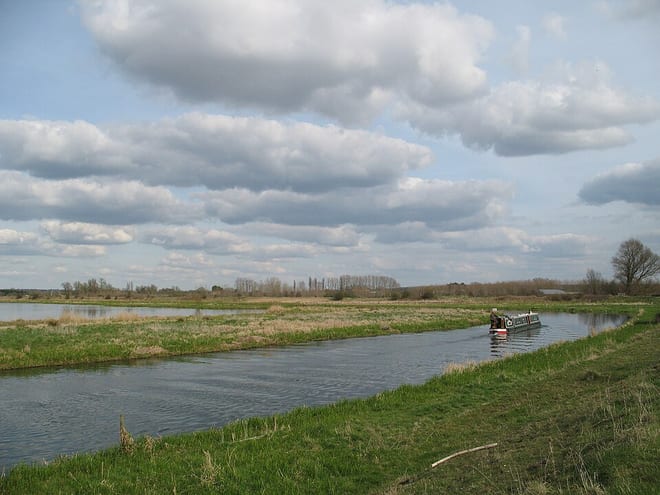
Thetford Rail Station
- River
- Special Area of Conservation
- Peaks nearby
- 0
- within 10 miles
- Walking routes
- 21
- within 10 miles
What's on the doorstep
Walking distances are estimates from the straight-line distance and the type of ground, not a measured route. Check a map before you set off.
About Thetford Rail Station
Thetford is a market town and civil parish in the Breckland District of Norfolk, England. It is on the A11 road between Norwich and London, just east of Thetford Forest. The civil parish, covering an area of 29.55 km2 (11.41 sq mi), in 2011 had a population of 24,340.
Source: Wikipedia, CC BY-SA.
Hills, trails and walks from the platform
Loading nearby stations…
No peaks within 10 miles matching these filters.
| Peddars Way and Norfolk Coast Path ↗ | 92.5 mi | 4.5 mi |
Route data © OpenStreetMap contributors, ODbL – coverage and route quality vary by area.
| Icknield Way Path ↗Regional | 123.7 mi | 0.0 mi |
| The Brecks ↗ | 10.4 mi | 0.1 mi |
| Thetford Architecture Trail ↗Local | 2.5 mi | 0.1 mi |
| Thetford River Trails - Purple Route (West) ↗Local | 0.9 mi | 0.2 mi |
| St Edmund Way ↗Regional | 81.2 mi | 0.3 mi |