





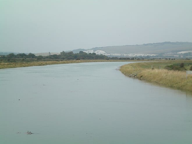
Uckfield Rail Station
- River
- Peaks nearby
- 15
- highest 77m
- Walking routes
- 21
- within 10 miles
What's on the doorstep
Walking distances are estimates from the straight-line distance and the type of ground, not a measured route. Check a map before you set off.
About Uckfield Rail Station
Uckfield is a town in the Wealden District of East Sussex in South East England. The town is on the River Uck, one of the tributaries of the River Ouse, on the southern edge of the Weald.
Source: Wikipedia, CC BY-SA.
Hills, trails and walks from the platform
Walking distances are estimates from the straight-line distance and the type of ground, not a measured route. Check a map before you set off.
| Red House Common | 77m | 5.0 mi (about 6.5 to 7.5 mi on foot) |
| Blunt's Hill | 65m | 5.5 mi (about 7 to 8 mi on foot) |
| Butcher's Cross | 146m | 6.3 mi (about 8 to 9 mi on foot) |
| Black Hill | 223m | 6.3 mi (about 8 to 9 mi on foot) |
| CrowboroughM | 242m | 6.5 mi (about 8.5 to 9.5 mi on foot) |
| South Downs Way ↗ | 114.0 mi | 8.3 mi |
Route data © OpenStreetMap contributors, ODbL – coverage and route quality vary by area.
| Wealdway ↗Regional | 84.8 mi | 0.8 mi |
| Sussex Ouse Valley Way ↗Regional | 44.9 mi | 2.3 mi |
| Vanguard Way ↗Regional | 67.5 mi | 2.3 mi |
| Sussex Diamond Way ↗Regional | 60.9 mi | 3.5 mi |
| East Park Walk ↗Local | 0.7 mi | 3.6 mi |