






Welshpool Rail Station
- Special Area of Conservation
- National Trail
- Canal
- River
- Peaks nearby
- 30
- highest 408m
- Walking routes
- 10
- within 10 miles
What's on the doorstep
Glyndŵr's WayNational Trail · 0.2 mi (about 0.3 mi on foot)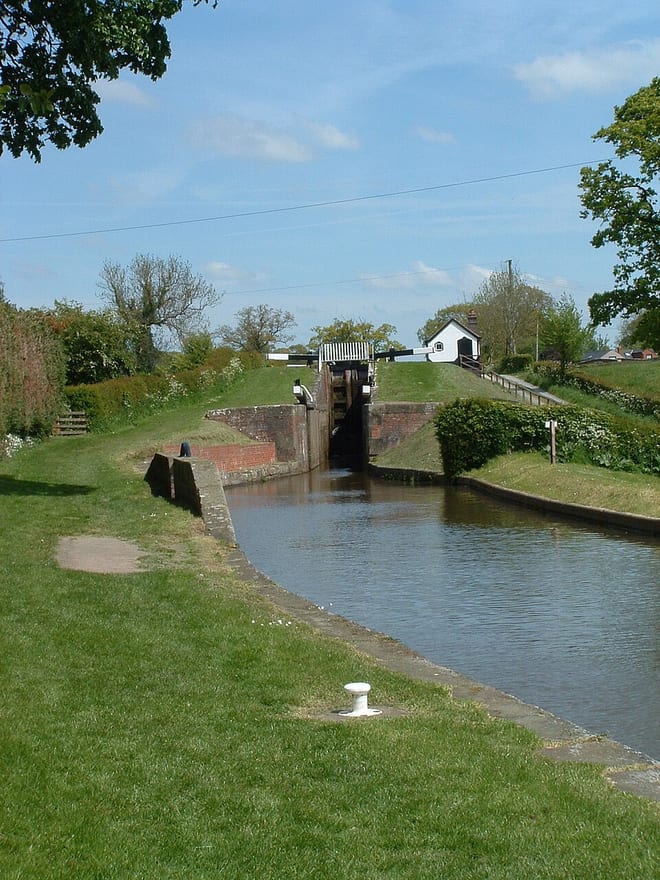 Montgomery CanalCanal · 0.2 mi (about 0.3 mi on foot)
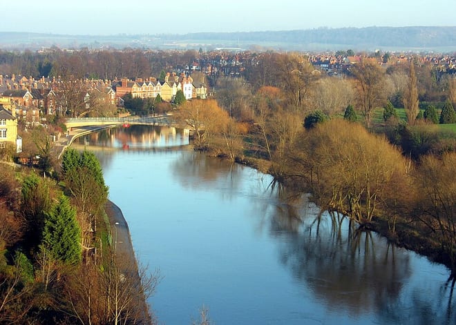 River SevernRiver · 0.3 mi (about 0.4 mi on foot)
 Offa's Dyke PathNational Trail · 1.4 mi (about 1.5 to 2 mi on foot)
Also nearby
Walking distances are estimates from the straight-line distance and the type of ground, not a measured route. Check a map before you set off.
About Welshpool Rail Station
Welshpool is a market town and community in Powys, Wales, historically in the county of Montgomeryshire. The town is four miles from the Wales–England border and low-lying on the River Severn. The community, which also includes Cloddiau and Pool Quay, has a population of 6,664, with the town having 5,948. There are many examples of Georgian architecture within the town. Powis Castle is located to the south-west.
Hills, trails and walks from the platform
Walking distances are estimates from the straight-line distance and the type of ground, not a measured route. Check a map before you set off.
| Yr Allt | 232m | 1.9 mi (about 2.5 mi on foot) |
| Long MountainM | 408m | 2.3 mi (about 3 to 3.5 mi on foot) |
| Moel y Garth | 260m | 2.7 mi (about 3.5 to 4 mi on foot) |
| Upper ParkM | 352m | 2.8 mi (about 3.5 to 4 mi on foot) |
| Long Mountain North Top | 382m | 2.9 mi (about 4 mi on foot) |
| Glyndŵr's Way ↗ | 135.8 mi | 0.2 mi |
| Offa's Dyke Path ↗ | 181.4 mi | 1.4 mi |
Route data © OpenStreetMap contributors, ODbL – coverage and route quality vary by area.
| Glyndŵr's Way ↗National | 136.3 mi | 0.2 mi |
| Severn Way (1) Source to Shrewsbury ↗Regional | 72.6 mi | 0.2 mi |
| Offa's Dyke Path ↗National | 181.6 mi | 1.4 mi |
| Shropshire Way - stage 14 ↗Local | 14.4 mi | 8.2 mi |
| Shropshire Way - stage 13 ↗Local | 13.9 mi | 8.9 mi |