





Wigan Wallgate Rail Station
- River
- Canal
- National Nature Reserve
- Peaks nearby
- 15
- highest 96m
- Walking routes
- 11
- within 10 miles
What's on the doorstep
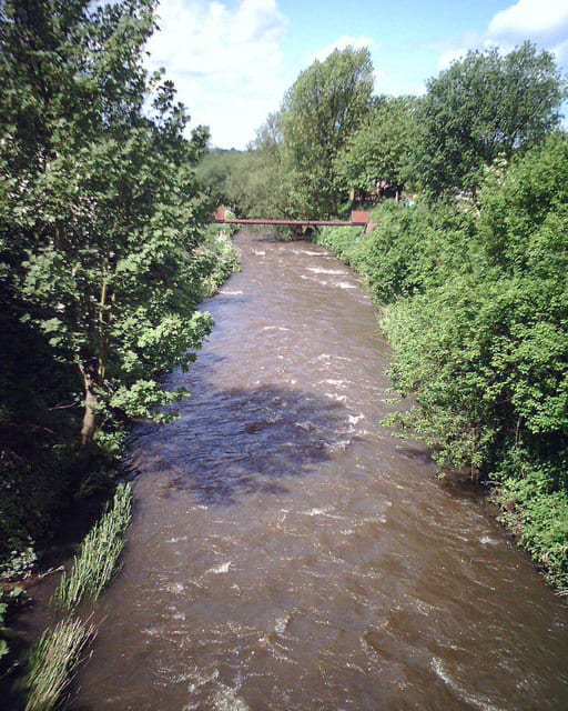
River DouglasRiver · 0.2 mi (about 0.3 mi on foot)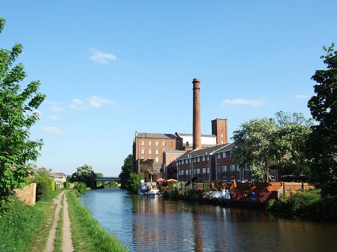 Leeds and Liverpool CanalCanal · 0.3 mi (about 0.4 to 0.5 mi on foot)
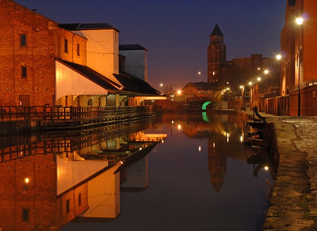 Leeds and Liverpool Canal (Leigh Branch)Canal · 0.4 mi (about 0.5 to 0.6 mi on foot)
Also nearby
Walking distances are estimates from the straight-line distance and the type of ground, not a measured route. Check a map before you set off.
About Wigan Wallgate Rail Station
Wigan Wallgate is one of two railway stations serving the town centre of Wigan, in Greater Manchester, England; the other is Wigan North Western, which is 100 metres (110 yd) away across the street named Wallgate. The station serves two routes: the Manchester-Southport Line and the Manchester-Kirkby Line. It is sited 16 miles (26 km) down the line from Manchester Victoria, via Atherton. The station is managed by Northern Trains, which also operates all trains serving it.
Hills, trails and walks from the platform
Walking distances are estimates from the straight-line distance and the type of ground, not a measured route. Check a map before you set off.
| Haigh | 161m | 2.7 mi (about 3.5 to 4 mi on foot) |
| Blackrod | 163m | 4.0 mi (about 5 to 5.5 mi on foot) |
| Billinge HillM | 179m | 4.3 mi (about 5.5 to 6 mi on foot) |
| Billinge Hill (N Top) | 169m | 4.3 mi (about 5.5 to 6.5 mi on foot) |
| Ashurst's Beacon | 172m | 5.2 mi (about 7 to 7.5 mi on foot) |
No National Trails within 10 miles.
Route data © OpenStreetMap contributors, ODbL – coverage and route quality vary by area.
| GM Ringway Stage 15 ↗Regional | 10.3 mi | 0.0 mi |
| GM Ringway Stage 16 ↗Regional | 10.1 mi | 0.1 mi |
| Wigan Way ↗ | 0.1 mi | 1.7 mi |
| GM Ringway Stage 14 ↗Regional | 13.9 mi | 4.0 mi |
| Adlington Circular Walk ↗ | 1.6 mi | 4.4 mi |