





Wakefield Kirkgate Rail Station
- River
- Canal
- Peaks nearby
- 18
- highest 96m
- Walking routes
- 20
- within 10 miles
What's on the doorstep
River Calder (West Yorkshire)River · 0.2 mi (about 0.2 mi on foot)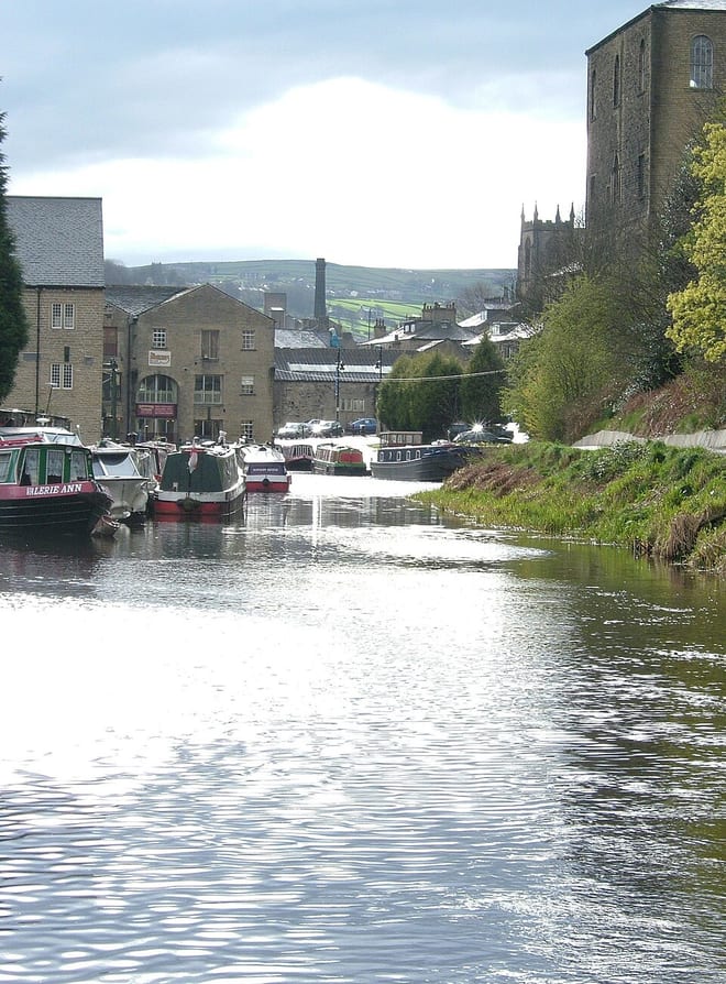 Calder and Hebble NavigationCanal · 0.3 mi (about 0.4 mi on foot)
Walking distances are estimates from the straight-line distance and the type of ground, not a measured route. Check a map before you set off.
About Wakefield Kirkgate Rail Station
Wakefield Kirkgate is one of two railway stations in Wakefield, West Yorkshire, England. Unlike nearby Wakefield Westgate, Kirkgate is unstaffed. It is managed by Northern Trains, but also served by Grand Central and TransPennine Express. The station is on the Hallam, Calder Valley, Pontefract and Huddersfield lines, with a limited number of services to London King's Cross. It is situated 47 miles 62 chains (76.9 km) from Manchester Victoria, measured via Rochdale.
Hills, trails and walks from the platform
Walking distances are estimates from the straight-line distance and the type of ground, not a measured route. Check a map before you set off.
| Chevet Park | 91m | 3.2 mi (about 4 to 4.5 mi on foot) |
| Woolley Edge [Beacon Hill] | 176m | 4.7 mi (about 6 to 7 mi on foot) |
| Headfield Hill | 74m | 5.9 mi (about 7.5 to 8.5 mi on foot) |
| Rabbit Ings Country Park | 96m | 5.9 mi (about 7.5 to 8.5 mi on foot) |
| Glasshoughton Colliery Tip | 62m | 6.2 mi (about 8 to 9 mi on foot) |
No National Trails within 10 miles.
Route data © OpenStreetMap contributors, ODbL – coverage and route quality vary by area.
| Trans-Pennine Trail (Wombwell to Leeds) ↗Regional | 30.0 mi | 1.0 mi |
| Wakefield Way ↗Regional | 77.1 mi | 1.8 mi |
| Walton 2 ↗ | 0.4 mi | 2.1 mi |
| Leeds Country Way ↗Local | 62.6 mi | 3.3 mi |
| Kirklees Way ↗Regional | 76.1 mi | 4.3 mi |