





Worcester Foregate Street Rail Station
- Canal
- River
- Peaks nearby
- 30
- highest 98m
- Walking routes
- 20
- within 10 miles
What's on the doorstep
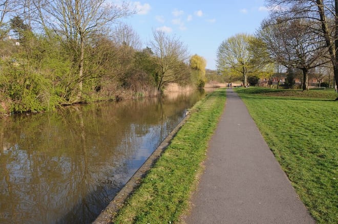
Worcester and Birmingham CanalCanal · 0.3 mi (about 0.4 mi on foot)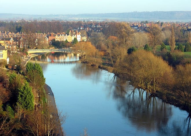 River SevernRiver · 0.3 mi (about 0.4 to 0.5 mi on foot)
Walking distances are estimates from the straight-line distance and the type of ground, not a measured route. Check a map before you set off.
About Worcester Foregate Street Rail Station
Worcester Foregate Street, opened by the Great Western Railway in 1860, is one of two railway stations that serve the city of Worcester, England; the other is Worcester Shrub Hill, which is located to the east. A third station, Worcestershire Parkway, is sited just outside of the city to the south-east. The station is managed by West Midlands Railway, who also operate services along with Great Western Railway.
Hills, trails and walks from the platform
Walking distances are estimates from the straight-line distance and the type of ground, not a measured route. Check a map before you set off.
| Elbury Hill | 98m | 1.3 mi (about 1.5 to 2 mi on foot) |
| Leopard Hill | 97m | 1.5 mi (about 2 mi on foot) |
| Crookbarrow Hill | 86m | 2.4 mi (about 3 to 3.5 mi on foot) |
| Bush Hill | 68m | 3.3 mi (about 4.5 to 5 mi on foot) |
| Old Hills | 66m | 4.2 mi (about 5.5 to 6 mi on foot) |
No National Trails within 10 miles.
Route data © OpenStreetMap contributors, ODbL – coverage and route quality vary by area.
| Monarch's Way ↗Regional | 573.3 mi | 0.3 mi |
| Severn Way (3) Worcester to Bristol ↗Regional | 96.0 mi | 0.3 mi |
| Three Choirs Way (Hereford to Worcester) ↗Regional | 33.0 mi | 0.3 mi |
| Wild About Worcester Way ↗Local | 12.3 mi | 0.4 mi |
| Severn Way (2) Shrewsbury to Worcester ↗Regional | 57.8 mi | 0.4 mi |