





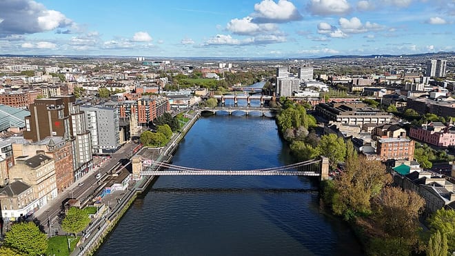
Yoker Rail Station
- River
- Peaks nearby
- 30
- highest 83m
- Walking routes
- 20
- within 10 miles
What's on the doorstep
Walking distances are estimates from the straight-line distance and the type of ground, not a measured route. Check a map before you set off.
About Yoker Rail Station
Yoker is an area of Glasgow, Scotland, located on the northern bank of the Clyde east of Clydebank, 5 miles west of the city centre. The name is an Anglicisation of the Scottish Gaelic Eochair meaning a river bank.
Source: Wikipedia, CC BY-SA.
Hills, trails and walks from the platform
Walking distances are estimates from the straight-line distance and the type of ground, not a measured route. Check a map before you set off.
| Cairn Hill | 73m | 2.4 mi (about 3 to 3.5 mi on foot) |
| Byres Hill | 55m | 2.8 mi (about 3.5 to 4 mi on foot) |
| Craigend Hill | 59m | 3.2 mi (about 4 to 4.5 mi on foot) |
| Douglas Park | 81m | 3.8 mi (about 5 to 5.5 mi on foot) |
| Bellahouston Park | 50m | 4.2 mi (about 5.5 to 6 mi on foot) |
No National Trails within 10 miles.
Route data © OpenStreetMap contributors, ODbL – coverage and route quality vary by area.
| Forth & Clyde/Union Canal Towpath ↗National | 63.1 mi | 0.5 mi |
| Drumchapel Way ↗Local | 4.6 mi | 1.2 mi |
| Cairnhill Woods ↗Local | 0.5 mi | 2.2 mi |
| Clyde Coastal Path: 3: 8 Hardgate to Stockiemuir Road ↗Regional | 3.2 mi | 2.3 mi |
| Clyde Coastal Path ↗Regional | 19.0 mi | 2.3 mi |