





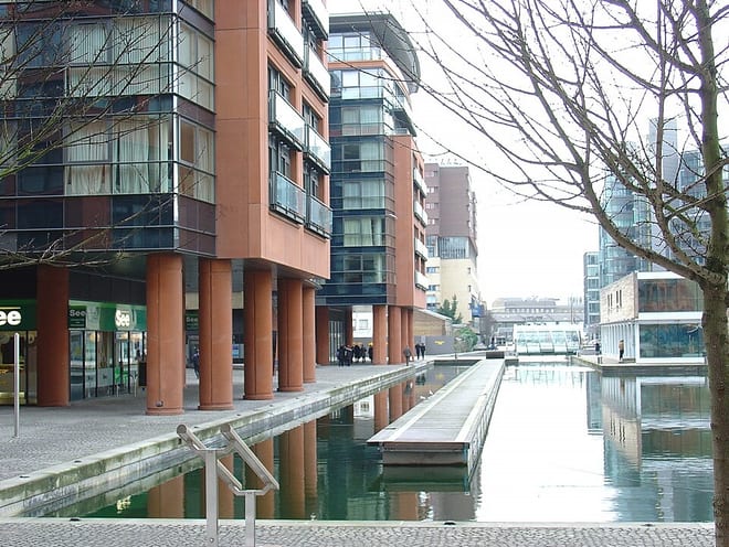
Walk the Grand Union Canal (Paddington Arm) by Train
Photo: Bjenks, CC BY-SA 3.0, via Wikimedia Commons
The Paddington Arm runs 13 and a half miles from Bull's Bridge in Hayes to Paddington in central London, meeting the Regent's Canal at Little Venice. Greenford and Stonebridge Park stations give train access to the towpath.
There are 2 stations within reach of the Grand Union Canal (Paddington Arm): within 2 miles of it, or half a mile in towns.
The Grand Union Canal (Paddington Arm) runs about 8 miles in our route data, including any river sections it follows. The stations below are in order along it.
Grand Union Canal (Paddington Arm) train stations
- Greenford0.3 mi (about 0.4 mi on foot) · closest
- Stonebridge Park0.4 mi (about 0.5 to 0.6 mi on foot)
Walking distances are estimates from the straight-line distance and the type of ground, not a measured route. Check a map before you set off.
There-and-back walks
No two stations share a walkable stretch of the Grand Union Canal (Paddington Arm), so these walks head out along the towpath and come back to the same station. The distance is the longest the towpath allows, up to 20 miles; turn round sooner for a shorter walk.
| Station | Out along the towpath | Distance | Time |
|---|---|---|---|
| Greenford | 4.5 mi and back | 10 mi | about 3.5 hours |
| Stonebridge Park | 7.9 mi and back | 17 mi | about 5.5 hours |
Walks onto other canals
Start on the Grand Union Canal (Paddington Arm) and finish on another canal, changing at the junction where they meet.
| From | To | Distance | Time |
|---|---|---|---|
| Greenford | West Draytonon the Grand Union Canal | 8 mi | about 2.5 hours |
| Greenford | Syon Laneon the Grand Union Canal | 10 to 10.5 mi | about 3.5 hours |
| Greenford | Kensal Riseon the Grand Union Canal (Paddington Branch) | 7.5 mi | about 2.5 hours |
Times use Naismith's rule and don't include stops.
Canal routes and towpaths © OpenStreetMap contributors.
More of Grand Union Canal (Paddington Arm)
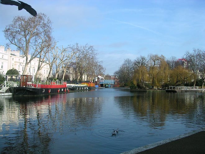
Photo: Charlesdrakew at English Wikipedia (Original text: Charles (talk)), Public domain, via Wikimedia Commons
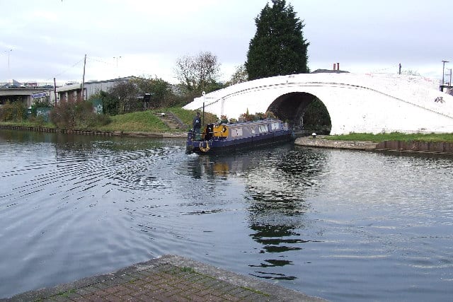
Photo: Dennis Troughton, CC BY-SA 2.0, via Geograph